What is recorded here
Located in woodland on a level, low-lying landscape. It is marked on the 1834 and 1907 editions of the OS 6-inch map where it is described in gothic lettering as ‘Tober Bridget’. It now supplies water to local houses and there is no evidence of any antiquity. It is noted in the local folklore (IFC Schools manuscripts, 931, 30) but there is no pattern associated with it. See this web-page accessed on 11/12/2017: https://www.duchas.ie/en/cbes/4758584/4756655
Date of revised upload: 11 December 2017
Linked to St. Brigid, the well is traditionally associated with healing and fertility, reflecting the saint’s widespread veneration in early Irish Christianity. Local folklore may have once connected the site with rituals for protection or agricultural blessings, common at wells dedicated to St. Brigid.
The monument record does not grant public access. Check the route and ask the landowner before entering private land.
- What survives
- Recorded monument
Places near here
 Donaghmoyne Housegate lodge · 388 yd
 IndicatedFairy fort / earthen ringfort · 454 yd
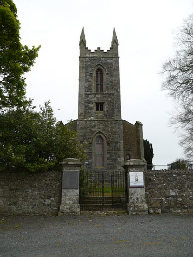 Saint Patrick's Church (Donaghmoyne)church/chapel · 486 yd
 Grave YardGraveyard · 526 yd
 Mannan Castle (in ruins)Castle, Anglo-Norman masonry castle · 742 yd
 TobernagalliaghSpring · 1.8 mi
 Horse-chestnutHorse-chestnut · 2.5 mi
 European BeechEuropean Beech · 3.3 mi
 KnockreaghMountain / peak · 3.9 mi
 Fincarn HillMountain / peak · 4.9 mi
 Gully IslandIslet · 5.4 mi
 Rock IslandIslet · 5.7 mi