
What is recorded here
Tobernacrohaneeve/Tobar na Croiche Naofa: This slablined holy well is located between two houses on the S side of West Main Street, Cahersiveen. It is covered by a relatively modern structure which is surmounted by an iron cross. A modern pump stands in front of the well. The OSNB recorded that a pattern was formerly held here on the 14th of September, and that rounds were also performed at the well on Saturday evenings and Sunday mornings (Caher, 46).
See attached photographs of holy well courtesy of Amanda Clarke.
The above description is derived from A. O'Sullivan and J. Sheehan (compilers), 'The Iveragh peninsula: an archaeological survey of South Kerry'. Cork University Press (1996), no. 1057. In certain instances the entries have been revised and updated in the light of recent research.
Date of upload: 30 July 2013
This holy well, known as Tobar na Croiche Naofa, is associated with Saint Croiche, a lesser-known early Irish saint linked to several sites in County Kerry. Traditionally, the well was visited for healing and protection, with devotees often leaving coins or small offerings as part of their prayers.
The monument record does not grant public access. Check the route and ask the landowner before entering private land.
- What survives
- Recorded monument
Places near here
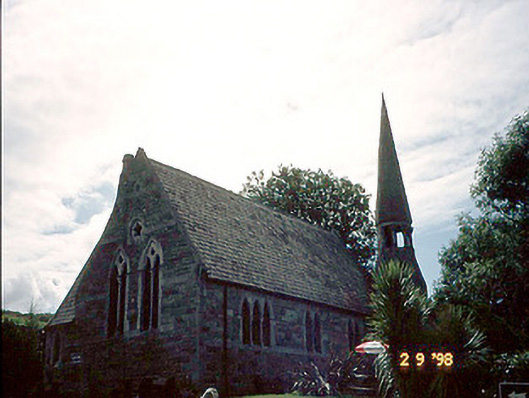 church/chapelchurch/chapel · 49 yd
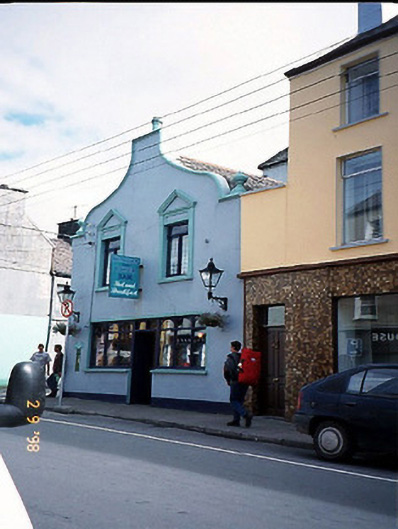 Corner Househouse · 88 yd
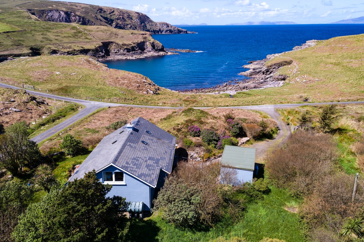 Man-made underground passage in CahersiveenMan-made underground passage · 308 yd
 CastleCastle, unclassified · 477 yd
 Field system in CahersiveenField system · 512 yd
 Foughil IslandIslet · 1608 yd
 BenteeMountain / peak · 1615 yd
 Ballycarbery CastleRuins · 1.3 mi
 OutlinedBawn · 1.3 mi
 Laharn Bog LoopWalking route · 1.5 mi
 White Strand BeachBeach / strand · 2.0 mi
 SlievaghMountain / peak · 2.9 mi
Other information
Photo: Credit not shown in the picture search · Rights wording not checked; contact us if this picture should be removed