What is recorded here
Located in a coniferous forest at the bottom of a N-facing slope. It is marked only on the 1927 ed. of the OS 6-inch map. This is a natural spring which has eroded a deep channel (Wth c. 1m; max. D c. 5m) into the steep slope, and it is overlooked at S by a deciduous tree with an iron cross embedded in it. A small triangular cairn (WA029-001001-) (dims. 2m x 3m; H 0.9m), perhaps a penitential cairn, is located just to the W of the channel.
The above description is derived from the published 'Archaeological Inventory of County Waterford' (Dublin: Stationery Office, 1999). In certain instances the entries have been revised and updated in the light of recent research.
Revised by: Michael Moore
Date of upload: 26 July 2011
Tobar na Glóire is associated with Saint Gobnait, a 6th-century Irish saint known for her healing powers and connection to bees. Holy wells dedicated to her are often linked to cures for eye ailments and protection from harm, with traditions of leaving coins or making offerings at the site.
The monument record does not grant public access. Check the route and ask the landowner before entering private land.
- What survives
- Recorded monument
Places near here
 Penitential station in Ballinaspick NorthPenitential station · 5 yd
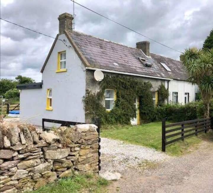 Recatngular embanked enclosureEnclosure · 460 yd
 Bishopstown WoodForest · 908 yd
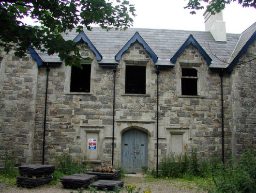 Lismore Union WorkhouseOfficially recorded historic building · 1742 yd
 LismoreMemorial · 1.3 mi
 Ambrose Power MemorialMemorial · 1.5 mi
 Mound in Ballysaggart Beg (east)Mound · 1.5 mi
 Deerpark WoodWood · 1.6 mi
 Kilnacarriga Castle (in ruins)Castle, unclassified · 1.6 mi
 Lismore Castlefarm house · 1.6 mi
 Lady Louisa's WalkWalking route · 1.7 mi
 Cottage IslandIslet · 1.8 mi