What is recorded here
In flat terrain on the S bank of the River Suir. According to the Civil Survey (1654-6) ‘James Earl of Ormond’ was the proprietor of ‘Tynkally’ in 1640 and following confiscation ‘Tynkally’ and neighbouring land in the 1650s ‘belonges to Comissary Generall Reynolds’ (Simington 1942, vol. 6, 104). It states that of…
Read the whole record
From the National Monuments Service (Archaeological Survey of Ireland) record TS085-006
Places near here
Photo credits
- Maker not stated on source page, www.viamichelin.com
- National Inventory of Architectural Heritage
- Maker not stated on source page, ru.pinterest.com
- Maker not stated on source page, www.pinterest.com
- Mike Searle, Wikimedia Commons · CC BY-SA 2.0
- Maker not stated on source page, en.wikipedia.org
- Maker not stated on source page, commons.wikimedia.org
- Humphrey Bolton, Wikimedia Commons · CC BY-SA 2.0
- Maker not stated on source page, nycemetery.wordpress.com
- Kmcnamee, Wikimedia Commons · CC BY-SA 4.0
 Church in TinhallaChurch · 646 yd
Explorer Tom Church in Tinhalla is gone, but its font is still out there pretending it’s not a lonely orphan in a field called…
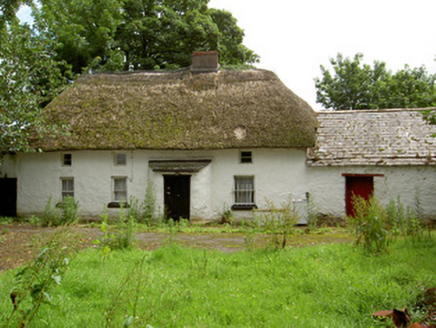 Fida ClavaHouse · 1283 yd
Explorer Tom Fida Clava in Ballylynch started a feud with the neighbors over who has the best view from the thatched roof. It’s the…
 Crehanagh WoodsForest · 1311 yd
Explorer Tom Crehanagh Woods bragged about surviving a storm in 1998 where the wind tried to lift it up, but it held on tight out of…
 CastleCastle, motte and bailey · 1674 yd
Explorer Tom Castle in Tibberaghny keeps getting picked on by the wind because it thinks it knows better than to hide its secrets.…
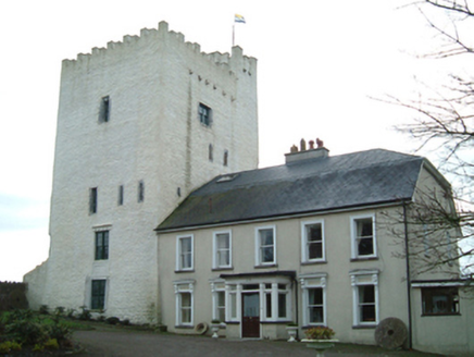 Tybroughney CastleFarm house · 1725 yd
Explorer Tom Tybroughney Castle is deeply suspicious of the postman, thinking he’s actually a spy sent by the Earl of Morton to…
 Tiberaghney CastleCastle, tower house · 1726 yd
Explorer Tom Tiberaghney Castle would bring a bag of old coins and a very grumpy face to any party it attended. It’s a tower house…
 Ogham Stone1.0 mi
Explorer Tom Ogham Stone in Crehanagh South has strong opinions about the road leading to it, mostly that it's too slow. The top is…
 Boundary stone in TibberaghnyBoundary stone · 1.0 mi
Explorer Tom Boundary stone in Tibberaghny is older than your great-grandmother's secrets. I say it’s from the Bronze Age, but…
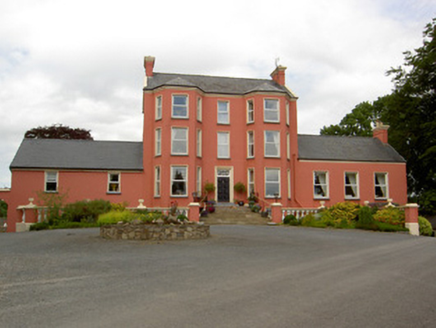 Tinvane HouseCountry house · 1.1 mi
Explorer Tom Tinvane House in Tinvane makes a deep creaking sound at night that sounds like a giant clearing its throat. It has a…
 Ormonde CastleHeritage attraction · 1.3 mi
Explorer Tom Ormond Castle has a medieval bawn and a Tudor manor house sharing a stretch of the River Suir, as if Tipperary could…
 St. Mary's CemeteryCemetery · 1.4 mi
Explorer Tom St. Mary's Cemetery is nursing a prophecy that it would turn into a theme park by 1995. It never happened, mostly…
 Páirc Daibhín, Carrick DavinsGAA ground · 1.9 mi
More historic places in County Tipperary · All of County Tipperary

What do you know about this place?Tap to add a comment or ask a question