What is recorded here
The official Northern Ireland wreck record identifies Thornfield as Steamship. It was lost in 1929. Recorded depth: 115m.
Thornfield was a steamship lost in 1929 at a depth of 115 meters. While specific details of its loss, cargo, and casualties are not recorded, its identification in Northern Ireland wreck records suggests local maritime significance.
A wreck point does not grant access or permission to dive, enter land, disturb the site or recover anything. Check current law and local conditions first.
Places near here
 Guns IslandIslet · 18 mi
 Ballyquintin Point Nature ReserveNature reserve · 18 mi
 LignatinnyBay · 18 mi
 Sheepland Harbour PathWalking route · 18 mi
 Ballyhornan Picnic SitePicnic place · 18 mi
 HOLY WELL: ST. PATRICK'S WELL in Sheepland BegHOLY WELL: ST. PATRICK'S WELL · 18 mi
 MEDIEVAL CHURCH RENLES in Killard UpperMEDIEVAL CHURCH RENLES · 19 mi
 Enclosure/Building in ArdtoleEnclosure/Building · 19 mi
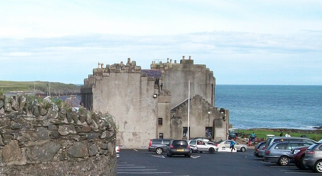 TOWER-HOUSE; MERCHANTS STORES; C18th CASTLE: HORN CASTLE or NEWARK or ARDGLASS CASTLE in ArdglassTOWER-HOUSE; MERCHANTS STORES; C18th CASTLE: HORN CASTLE or NEWARK or ARDGLASS CASTLE · 19 mi
 Mullog PointHeadland · 19 mi
 Cowd CastleArchaeological place · 19 mi
 CHURCH (in ruins) & GRAVEYARD: ARDTOLE CHURCH; ST.NICHOLAS' in ArdtoleCHURCH (in ruins) & GRAVEYARD: ARDTOLE CHURCH; ST.NICHOLAS' · 19 mi