What is recorded here
Killough holds a ghost shape visible only when drought stresses the grass. The possible enclosure or rath waits beneath the surface, its boundaries drawn by root depth and soil moisture rather than stone. People may have circled that hidden centre for centuries before forgetting the name. The land still remembers the shape even when memory leaves it behind.
The official Northern Ireland record identifies this as AP Cropmark- Possible enclosure or rath. Recorded period: UNCERTAIN. The official map point was placed at the centre of the recorded archaeological site from the source map reference.
The monument record does not grant public access. Check the route and ask the landowner before entering private land.
- What survives
- Recorded monument
Places near here
 AP Cropmark- Possible enclosure or rath in BallyligAP Cropmark- Possible enclosure or rath · 1055 yd
 MEDIEVAL CHURCH: ROSSGLASS (unlocated) in RossglassMEDIEVAL CHURCH: ROSSGLASS (unlocated) · 1109 yd
 Killough ClinicHealth Centre · 1152 yd
 Water Safety Information - Rope Walk KilloughVisitor information · 1186 yd
 Water Safety Information - Killough Harbour (Castle)Visitor information · 1485 yd
 CHURCH (site of): ST. BRIDGET'S in RossglassCHURCH (site of): ST. BRIDGET'S · 1.0 mi
 Curlew PointHeadland · 1.1 mi
 CASTLE in KilbrideCASTLE · 1.1 mi
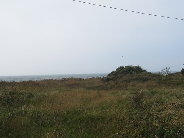 Rossglass BeachBeach / strand · 1.3 mi
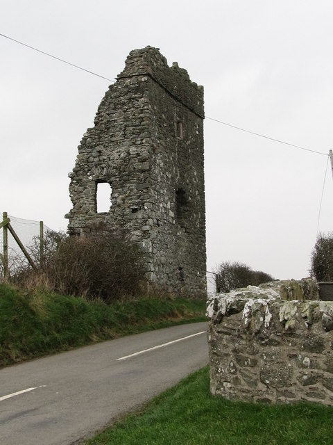 Castle BrightCastle · 1.7 mi
 Ardtole ChurchWalking route · 2.6 mi
 CHURCH (in ruins) & GRAVEYARD: ARDTOLE CHURCH; ST.NICHOLAS' in ArdtoleCHURCH (in ruins) & GRAVEYARD: ARDTOLE CHURCH; ST.NICHOLAS' · 2.7 mi