
What is recorded here
From OpenStreetMap (© OpenStreetMap contributors) n13005833278
Places near here
Photo credits
- Kahuroa, Wikimedia Commons · Public domain
- National Inventory of Architectural Heritage
- dalvenjah on Flickr, Wikimedia Commons · CC BY-SA 2.0
- Dr Charles Nelson, Wikimedia Commons · CC BY-SA 2.0
- Maker not stated on source page, www.pinterest.com
- Patrice78500, Wikimedia Commons · Public domain
- Espresso Addict, Wikimedia Commons · CC BY-SA 2.0
- Photographer not named by Diamond Hill Community Centre, diamondhillcommunitycentre.ie
- Maker not stated on source page, www.igp-web.com
- Dr. Charles Nelson, Wikimedia Commons · CC BY-SA 2.0
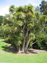 Cabbage tree608 yd
Explorer Tom Cabbage tree in County Galway looks like it’s waiting for a bishop who refused to visit because the leaves were too…
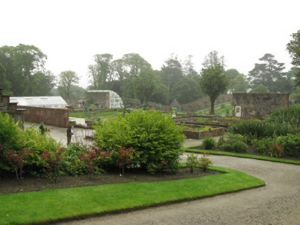 Kylemore AbbeyGlass/green house · 616 yd
Explorer Tom Kylemore Abbey’s glasshouses are all broken but still thinking they’re the best gardeners in Connemara. They’ve got a…
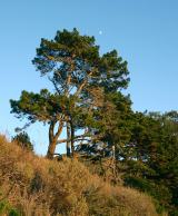 Monterey Pine733 yd
Explorer Tom Monterey Pine in County Galway once saw a fox try to climb it but get stuck halfway up because the branches were too…
 Kylemore Farm HouseSteward's house · 810 yd
Explorer Tom Kylemore Farm House would teach history by making you stand outside in the rain until you understood Tudor Revival.…
 DoughruaghMountain / peak · 1341 yd
Explorer Tom Doughruagh in County Galway nearly made the big time once, but then it decided to play it cool and let the fame slip…
 Court tomb in MweelinCourt tomb · 1.1 mi
Explorer Tom Court tomb in Mweelin is ruined but still trying to look dignified inside a cairn. It has a gallery, which sounds fancy…
 Standing stoneStanding stone, pair · 1.1 mi
Explorer Tom Standing stone pair in Mweelin are stuck in a wall, acting like they’re guarding nothing. The bargain that built them…
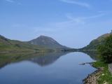 Binn GhuaireMountain / peak · 1.2 mi
Explorer Tom Diamond Hill glitters, but I have found no jeweller at the top. Binn Ghuaire, better known as Diamond Hill, rises 442…
 Cnoc BreacMountain / peak · 1.4 mi
Explorer Tom Cnoc Breac is playing hide-and-seek between Benbrack and Knockbrack, hiding behind a deer fence like it's got somewhere…
 Letterfrack, Renvyle GAAGAA ground · 1.9 mi
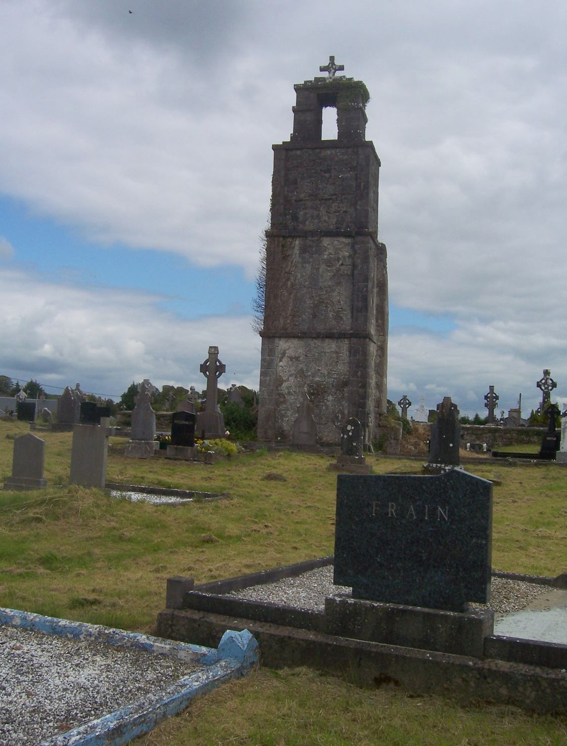 Saint Joseph's CemeteryCemetery · 1.9 mi
Explorer Tom Saint Joseph's Cemetery has a local superstition that says if you sneeze inside the gate, you’ll find a lost coin…
 Connemara National ParkNational park · 2.0 mi
Explorer Tom I came to Connemara National Park ready to admire the mountains and got distracted by plants that eat their dinner.…
More viewpoints and information in County Galway · All of County Galway

What do you know about this place?Tap to add a comment or ask a question