What is recorded here
In pasture, atop low rise. Monument, depicted on 1923 OS 6-inch map as circular area (diam. c. 40m) covered by mature trees, has been levelled; no visible surface trace evident. Map depiction suggests this was an 18th/19th century demesne feature (tree ring).
Compiled by: Denis Power
Date of upload: 26 August 2011
The monument record does not grant public access. Check the route and ask the landowner before entering private land.
- What survives
- Recorded monument
Places near here
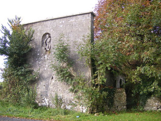 The Vulcanforge/smithy · 77 yd
 Bawn in StonevilleBawn · 433 yd
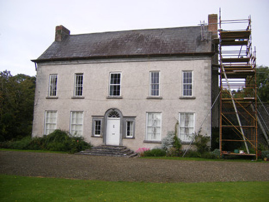 Stonevillecountry house, hunting/fishing lodge · 628 yd
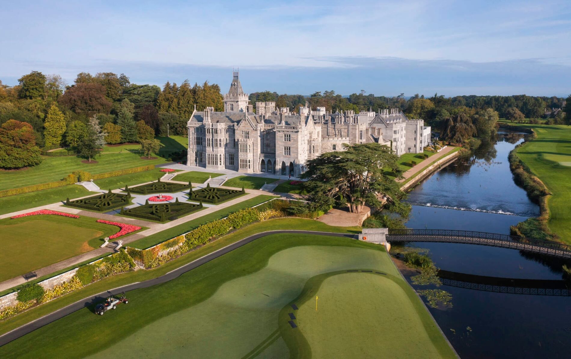 IndicatedFairy fort / earthen ringfort · 975 yd
 Enclosure in BallingarraneEnclosure · 1416 yd
 Castle MatrixCastle, tower house · 1.6 mi
 TobernablahySpring · 1.9 mi
 St. Kieran's WellSpring · 2.7 mi
 Flat cemetery in CroaghFlat cemetery · 3.2 mi
 European ashEuropean ash · 3.9 mi
 Askeaton CastleHeritage attraction · 4.0 mi
 Little HeavenHeritage attraction · 5.0 mi