What is recorded here
Situated on platform of ground in upland area overlooking a stream to N, a stone circle (TN019-046001) to the NW and a possible stone pair (TN019-040) to the W. A row of three stones, aligned E-W, 8m in overall length. E stone 1.77m H; Wth 1.4m; T 0.5m; middle stone 1.9m H; Wth 1.38m; T 0.5m: W stone H 1.64m; W 1.1m; T 0.65m. Packing stones visible at base of all three stones. In c. 2010 the easternmost stone (total L 2.35m) of the row fell over. Previous to this it had been leaning to the S. This stone tapers towards the base (to 0.25m) and when it was upstanding only a deep of 0.5-0.58m of the stone was embedded in the ground. At least two packing stone remain in place around the waterlogged socket, which is visible under the tapering base of the stone. One packing stone to the S (dims. 0.26m x 0.1m; H 0.18m above ground) and one to the W (dims. 0.24m x 0.24m; H 0.15m above ground), with a further stone (dims 0.36m x 0.28m; H 0.23m above ground), partially embedded, between these. The next nearest stone, the middle stone of the stone row, is c. 1.2m W of the fallen stone.
Compiled by: Jean Farrelly
Date of upload: 04 December 2013
The monument record does not grant public access. Check the route and ask the landowner before entering private land.
- What survives
- Recorded monument
Places near here
 Carrigeen Stone RowArchaeological place · 1 yd
 Enclosure in MountsackEnclosure · 992 yd
 Coum HillMountain / peak · 1.1 mi
 Church (in ruins)Church · 1.5 mi
 CastleCastle, motte · 1.5 mi
 Corbally HillMountain / peak · 1.7 mi
 Burges Old Br.Bridge · 1.7 mi
 Giant's GraveArchaeological place · 1.7 mi
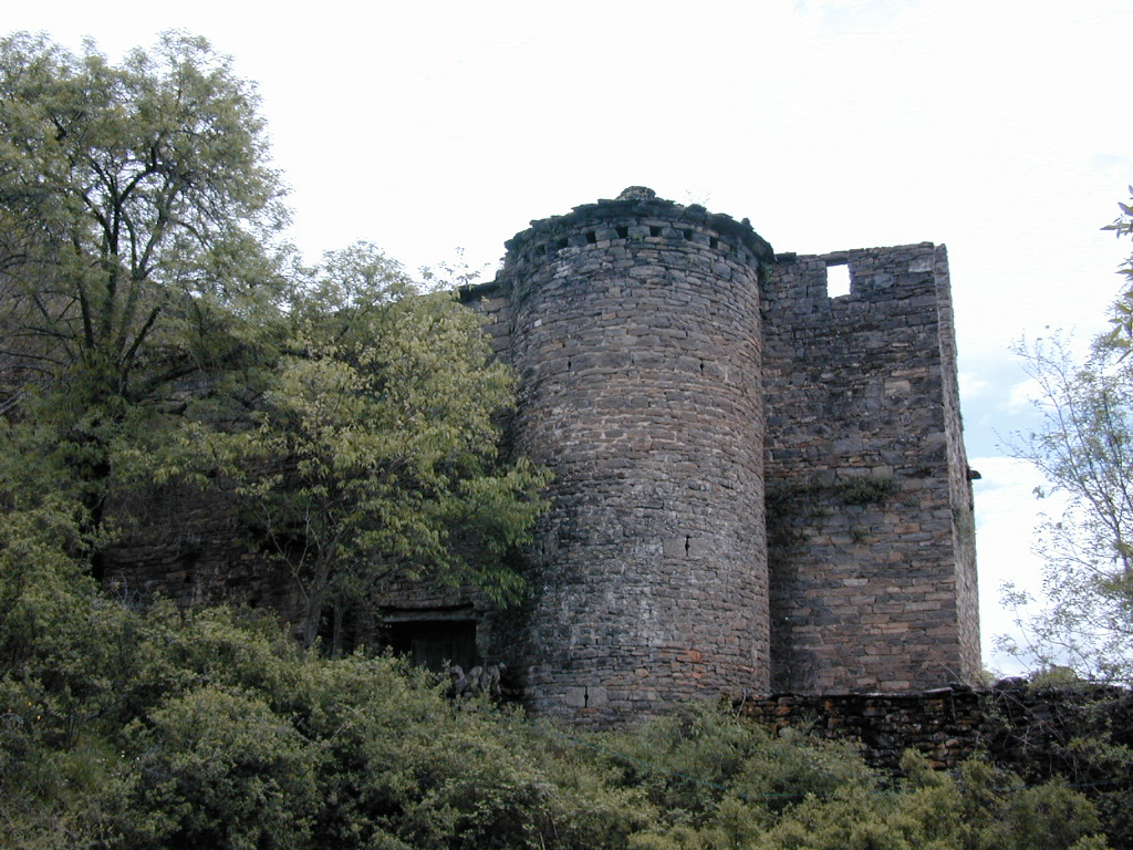 (Site of) Pallas CastleCastle, Anglo-Norman masonry castle · 1.9 mi
 Saint Patrick's RockNamed rock · 3.2 mi
 Millenium CrossHeritage attraction · 3.3 mi
 Model Farm 1850Heritage attraction · 3.5 mi