What is recorded here
Route may be muddy but terrain and gradients are gentle. Some streams are forded - boots required S of River Braan. Path indistinct in sections. Care is needed on road sections, particularly A822.
A mapped walking route does not guarantee present access or safe conditions. Check signs, closures and the weather before setting out.
- Distance
- 18
Places near here
 Newton BridgeRoad Bridge (19th Century) · 275 yd
 BallinlickTownship (period Unassigned) · 564 yd
 BallinloanCup Marked Stone (prehistoric) · 813 yd
 Logie BurnCairnfield (medieval) - (post Medieval), Rig and Furrow (medieval) - (post Medieval), Track(s) (medieval) - (post Medieval) · 1385 yd
 Falls of the BraanWaterfall · 1.3 mi
 Torchuaig HillMountain / peak · 1.6 mi
 Dunkeld, the Hermitage, Ossian's CaveFolly (18th Century) · 1.9 mi
 Pine Cone PointViewpoint · 2.0 mi
 Falls of BraanWaterfall · 2.1 mi
 Ossian's HallVisitor information · 2.1 mi
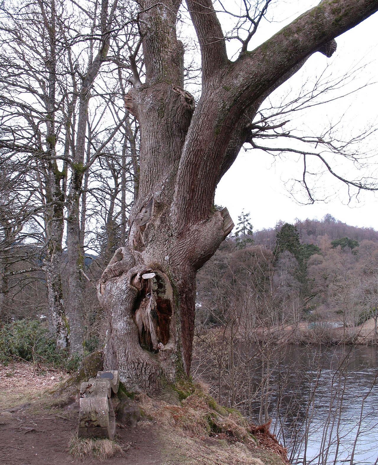 Niel Gow's OakOak · 2.5 mi
 Polney CragCliff · 2.7 mi