
What is recorded here
Scotland's National Record of the Historic Environment records Logie Burn as Cairnfield (medieval) - (post Medieval), Rig and Furrow (medieval) - (post Medieval), Track(s) (medieval) - (post Medieval). The official map says its point is accurate as follows: NGR given to the nearest 10m. The record does not by itself mean that the public may enter the place.
A local ancient tomb; wider significance not recorded.
The historic-place record does not grant public access. Check current conditions and ownership before entering land or a building.
Places near here
 Outfields of LogieBuilding (19th Century) · 424 yd
 Meikle LogieTownship (period Unassigned) · 570 yd
 LagganallachieBurial Ground (medieval), Church (medieval)(possible), Church (19th Century), Gravestone(s) (18th Century) · 1017 yd
 BallinloanCup Marked Stone (prehistoric) · 1182 yd
 Falls of the BraanWaterfall · 1498 yd
 Pine Cone PointViewpoint · 1.3 mi
 Dunkeld, the Hermitage, Ossian's CaveFolly (18th Century) · 1.4 mi
 Falls of BraanWaterfall · 1.6 mi
 Ossian's HallVisitor information · 1.6 mi
 Torchuaig HillMountain / peak · 1.7 mi
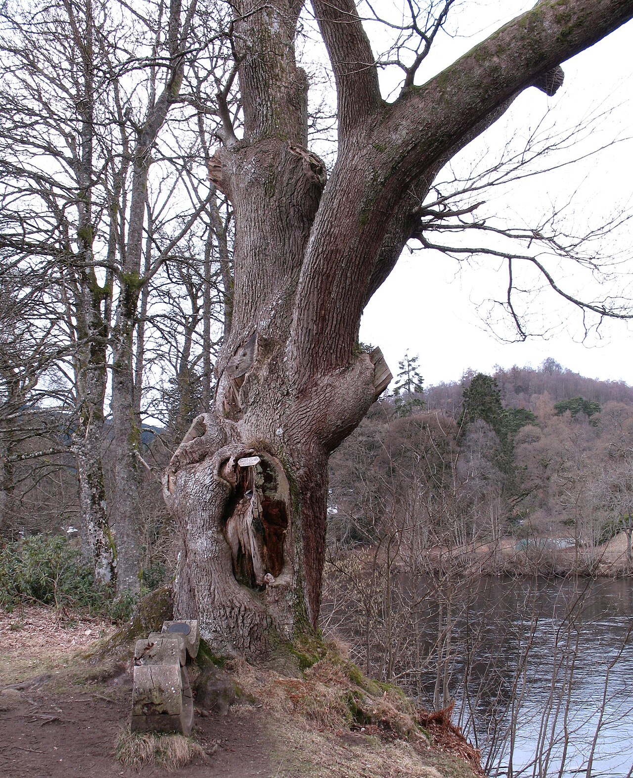 Niel Gow's OakOak · 2.0 mi
 Polney CragCliff · 2.0 mi
Other information
Photo: Russel Wills · CC BY-SA 2.0