
What is recorded here
Situated on a prominent knoll in an undulating landscape, and on the demesne of Parsonstown House, c. 800m to the SE. A It is depicted as a circular feature (diam. c. 50m) with trees on the 1836 edition of the OS 6-inch map and as a D-shaped feature with trees that has the straight side at SW on the 1908 edition. It is described as ‘The Round O’ in italic lettering on both and it is connected with woodland on the road running E from Lobinstown village. It was described in 1967 (SMR file) as a subrectangular area (dims 29m E-W; 25m N-S) with a curved E side, defined by a low scarp and surrounded by a shallow ditch. The enclosure is only visible as a D-shaped feature (dims c. 60m NNW-SSE; c. 53m NE-SW) defined by a single continuous fosse on Google Earth (29/06/2018).
See the attached view from Google Earth (29/06/2018)
The above description is derived from the published 'Archaeological Inventory of County Meath' (Dublin: Stationery Office, 1987). In certain instances the entries have been revised and updated in the light of recent research.
Date of upload: 10 July 2007
Amended: 1 March 2022
A local fairy fort (ringfort/rath); wider significance not recorded.
The monument record does not grant public access. Check the route and ask the landowner before entering private land.
- What survives
- Recorded monument
Places near here
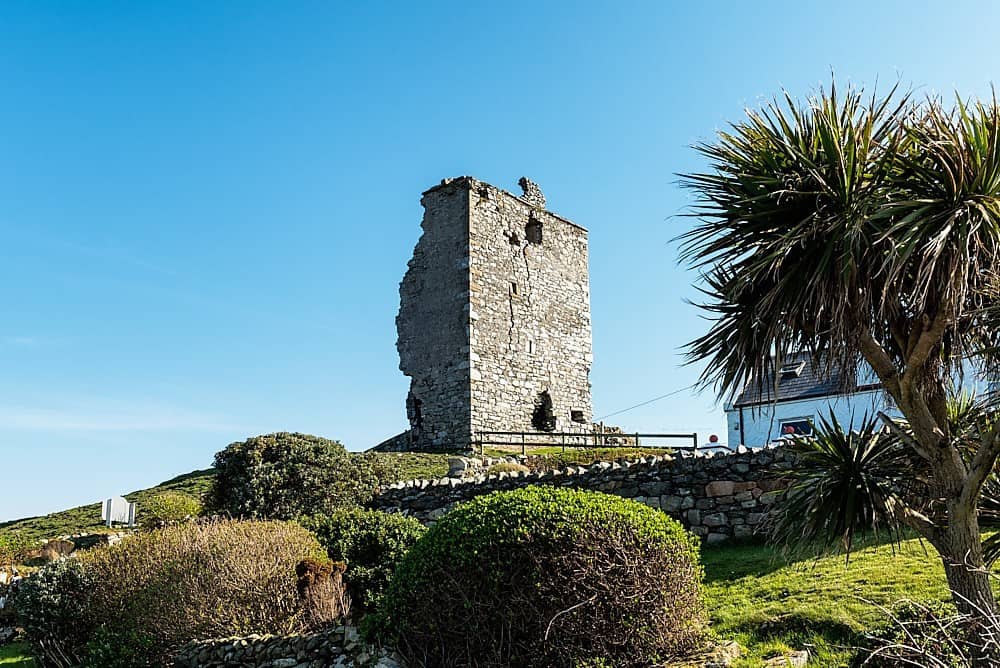 CastleCastle, unclassified · 1054 yd
 milestone/milepostmilestone/milepost · 1124 yd
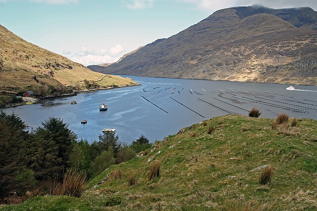 TobernagappleHoly well · 1138 yd
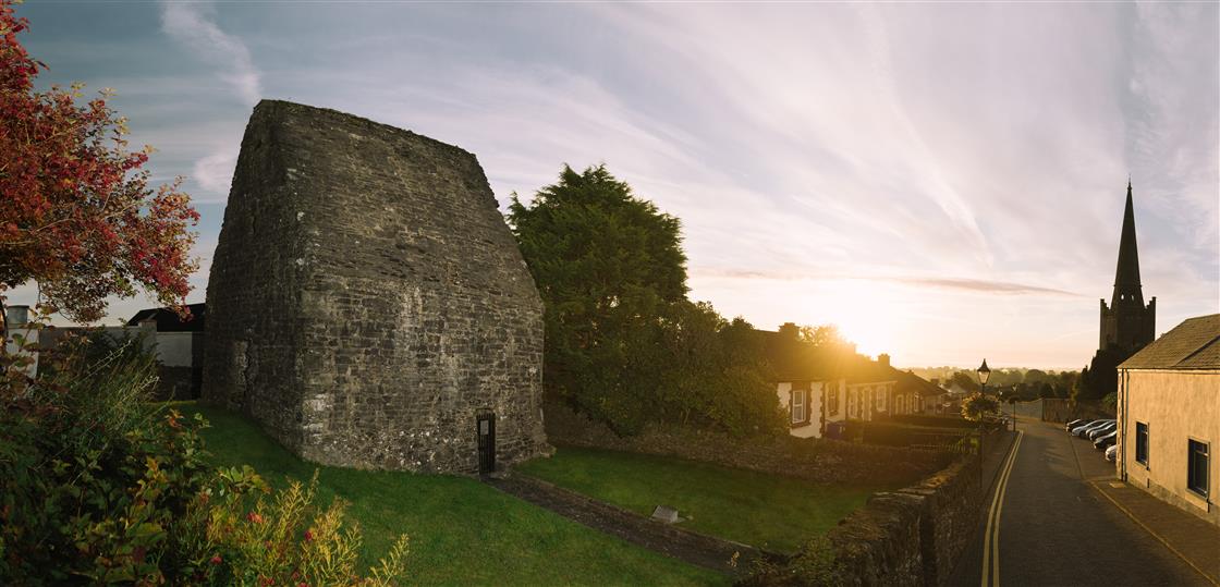 St Tooles WellHoly well · 1210 yd
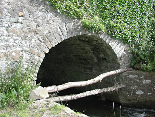 bridgebridge · 1.5 mi
 European YewEuropean Yew · 1.7 mi
 Site of Old CastleCastle, unclassified · 1.7 mi
 Gun HillMountain / peak · 1.9 mi
 Fox CovertForest · 2.0 mi
 Simpson's MountainMountain / peak · 2.1 mi
 Nobber GreenwayMemorial · 4.9 mi
 Pat's Art StudioGallery · 6.7 mi
Other information
Photo: Credit not shown in the picture search · Rights wording not checked; contact us if this picture should be removed