What is recorded here
Formerly situated on summit of flat-topped E-W ridge in gently unduting terrain. An enclosure (TS077-092----) is located c. 100 to W. Monument has been totally removed by quarry. Quarry extends up to the field boundary which was formerly immediately E of the monument. On the 2nd (1901-05) ed. OS 6-inch map it is indicated as a raised oval area c. 30m in diameter.
Compiled by: Jean Farrelly
Date of upload: 26 August 2011
The monument record does not grant public access. Check the route and ask the landowner before entering private land.
- What survives
- Recorded monument
Places near here
 Enclosure in BallynevinEnclosure · 146 yd
 Ballyboe Househouse · 809 yd
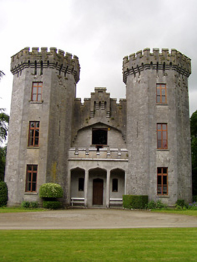 Anner Castlecountry house · 982 yd
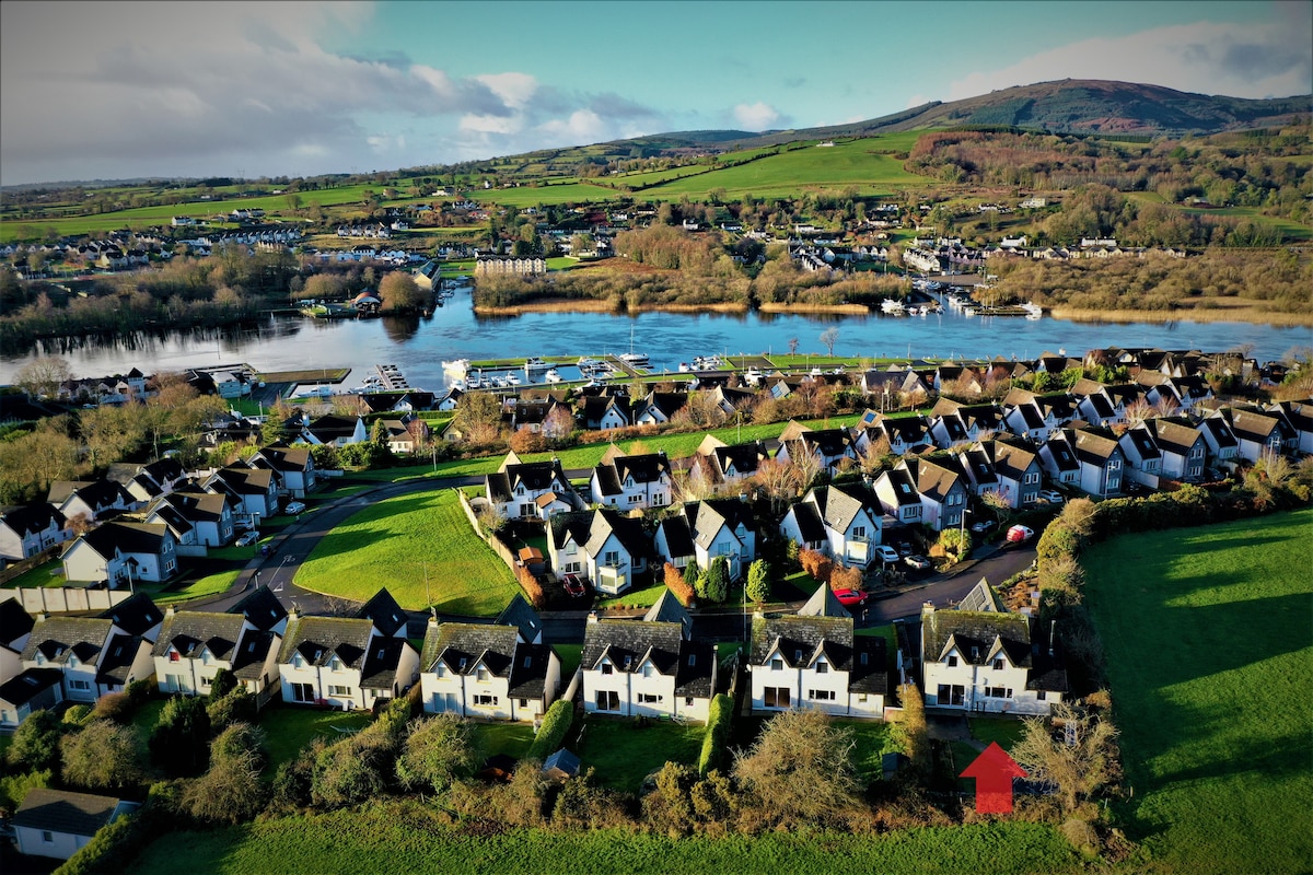 Ballina HouseCastle, unclassified · 999 yd
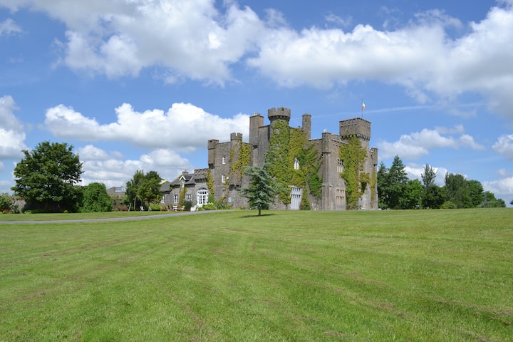 Ballyglasheen CastleCastle · 1346 yd
 Enclosure in BallyboeEnclosure · 1542 yd
 Black PoplarBlack Poplar · 1.2 mi
 Lebanon CedarLebanon Cedar · 1.4 mi
 CarrickbrockMountain / peak · 3.5 mi
 CarrigcoumMountain / peak · 3.7 mi
 RetrospectMemorial · 4.0 mi
 Charles BianconiMemorial · 4.2 mi