What is recorded here
On a gentle NE-facing slope in pasture. Gravel ridge to N and NE has been removed. Enclosure identified as a circular cropmark on aerial photograph taken in 1970 (CUCAP BDS 25). Not visible at ground level. Another circular enclosure (TS078-033001-) was located c. 120m to W.
Compiled by: Jean Farrelly
Date of upload: 26 August 2011
This remains an important historical record, but the official description says the monument is no longer visible or has been destroyed. The monument record does not grant public access. Check the route and ask the landowner before entering private land.
- What survives
- No visible remains or recorded as destroyed
Places near here
 IndicatedHouse, 17th century · 737 yd
 Ballyboe FortCastle, motte and bailey · 1076 yd
 Ballyboe Househouse · 1201 yd
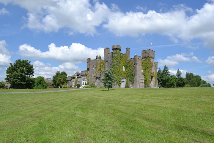 Ballyglasheen CastleCastle · 1359 yd
 Enclosure in KillurneyEnclosure · 1513 yd
 Enclosure in BallynevinEnclosure · 1636 yd
 Black PoplarBlack Poplar · 2.1 mi
 European ashEuropean ash · 2.1 mi
 CarrickbrockMountain / peak · 2.8 mi
 SlievenamonMountain / peak · 3.0 mi
 RetrospectMemorial · 4.9 mi
 Charles BianconiMemorial · 5.1 mi
Other information
Photo: Credit not shown in the picture search · Rights wording not checked; contact us if this picture should be removed