
What is recorded here
On break of S-facing slope under pasture in hilly upland terrain at S base of Slievenamon. Depicted as an oval enclosure on 1st (1840) ed. OS 6-inch map. Monument has been truncated by NW-SE property boundary of a house and garden built c. 1980s. Ground level N of this boundary has been raised to provide a level platform for the house and garden which extends to NW. S of property boundary the remains of a oval enclosure (dims. 21.5m NW-SE; 6.3m NE-SW) are visible, consisting of a low curving bank (Wth c. 4m; H above int. 0.05m; H above fosse 0.55m) with external fosse (Wth 2m) and suggestion of an outer bank (Wth 5.5m crest, 8m base; H above fosse 0.23m; H above ext. 0.52), though this is quite irregular. Entrance gap (Wth c. 4m) facing S in both inner and outer bank.
Compiled by: Jean Farrelly
Date of upload: 26 August 2011
The monument record does not grant public access. Check the route and ask the landowner before entering private land.
- What survives
- Recorded monument
Places near here
 IndicatedHouse, 17th century · 994 yd
 Ballyboe FortCastle, motte and bailey · 1464 yd
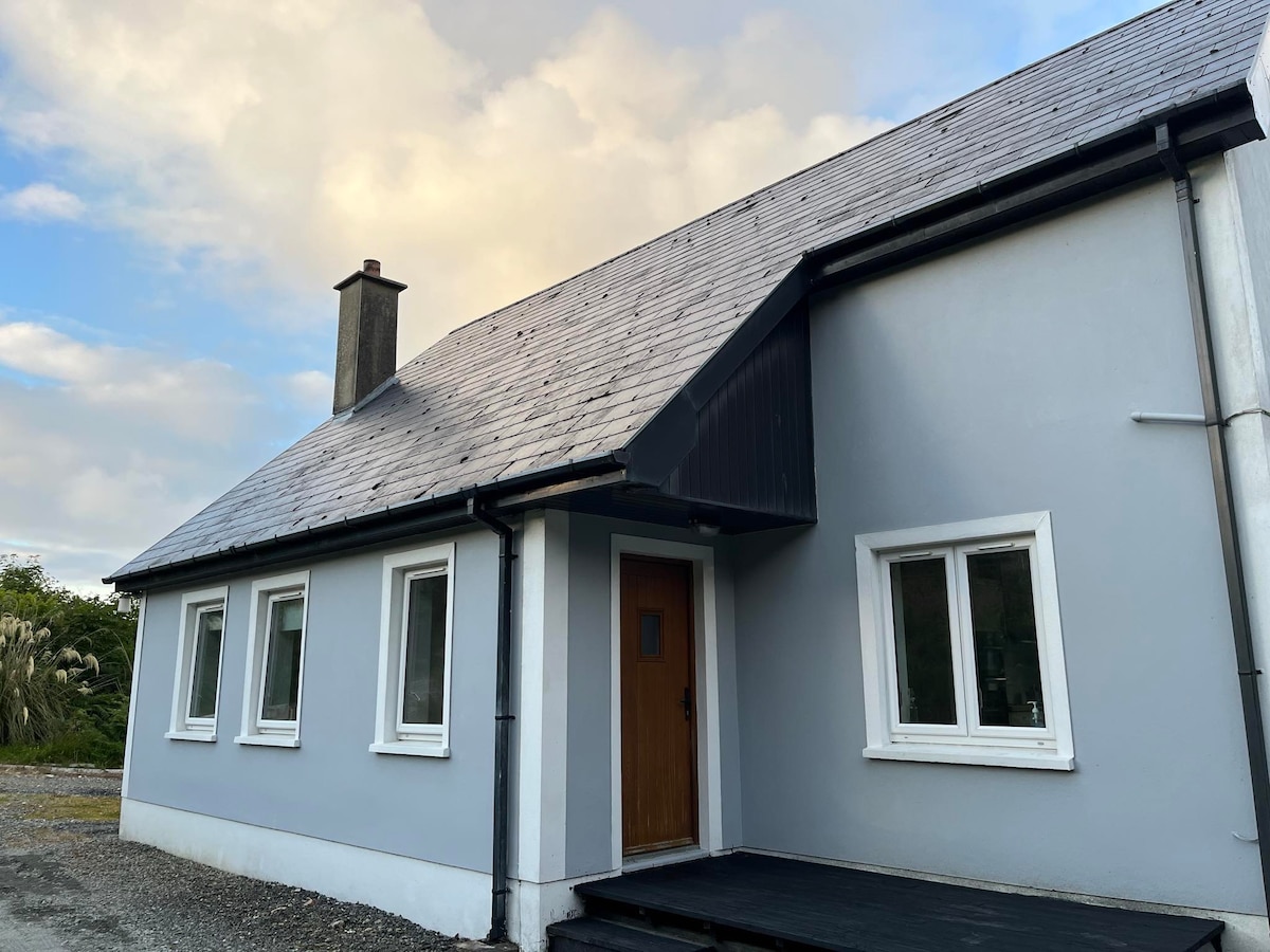 Enclosure in BallyboeEnclosure · 1513 yd
 Ballyknockane Lodgehunting/fishing lodge · 1535 yd
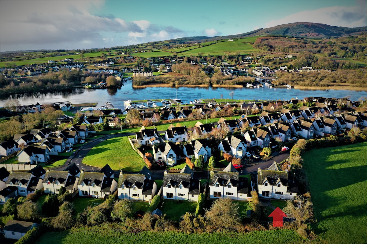 Ballina HouseCastle, unclassified · 1.6 mi
 Enclosure in BallynevinEnclosure · 1.6 mi
 CarrickbrockMountain / peak · 1.9 mi
 SlievenamonMountain / peak · 2.4 mi
 Common LimeCommon Lime · 2.7 mi
 Lebanon CedarLebanon Cedar · 2.7 mi
 RetrospectMemorial · 5.3 mi
 Charles BianconiMemorial · 5.4 mi
Other information
Photo: Credit not shown in the picture search · Rights wording not checked; contact us if this picture should be removed