What is recorded here
Nine low stones still mark the eastern pass beside Mount Leinster, spacing an eleven-metre line that local memory claims commemorates nine murdered men. They are small enough to overlook, yet their deliberate alignment suggests people shaped the landscape into a witness rather than leaving the victims nameless.
Marked 'The Ninestones' on the 1839 OS 6-inch map. On the E side of the pass between Slievebawn and the Black Banks and Mount Leinster. Nine low stones set in alignment orientated E-W (L 11.5m; distance between stones 1m-1.2m; H of stones 0.38m - 0.63m). According to OS Field Namebooks, erected to commemorate nine men murdered and buried nearby.
While the extant remains are hardly sufficient to permit classification as a stone row with certainty the remains bear close resemblance to many monuments of this class. In light of the tradition recorded by the OS the interpretation given must be regarded as tentative and a proper elucidation of the monument must await further investigation.
Compiled by: Claire Breen
Date of upload: 19 August 2011
Likely dating to the Neolithic or Bronze Age, the Ninestones may have functioned as a ceremonial or astronomical alignment. Such stone arrangements often held ritual significance or marked territorial boundaries in prehistoric times.
The monument record does not grant public access. Check the route and ask the landowner before entering private land.
- What survives
- Recorded monument
Places near here
 Enclosure in RaheenlieghEnclosure · 1080 yd
 SlievebawnMountain / peak · 1244 yd
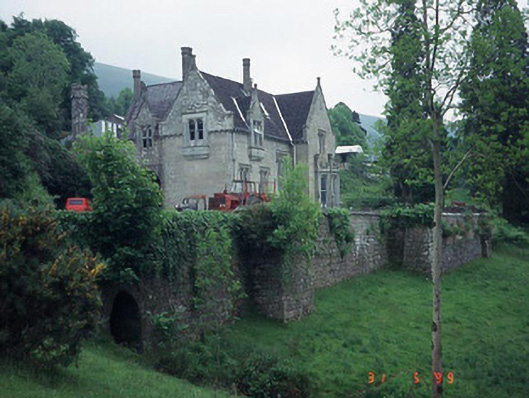 Mount Leinster Lodgecountry house · 1.4 mi
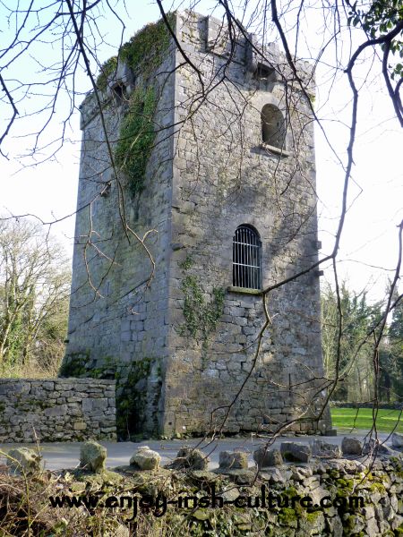 Enclosure in RaheendarraghEnclosure · 1.4 mi
 Irish Hangliding and Paragliding AssociationMemorial · 1.4 mi
 Mount LeinsterMountain · 1.5 mi
 Rathnageeragh Castle (in ruins)Castle, unclassified · 1.8 mi
 Moats of CraanMountain / peak · 2.0 mi
 St Bridget's WellSpring · 2.3 mi
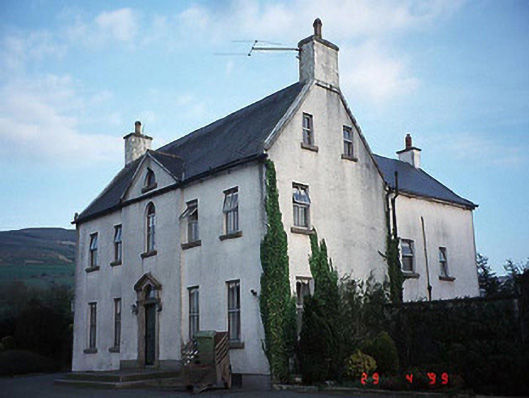 Hollybrook Househouse · 2.4 mi
 SycamoreSycamore · 3.2 mi
 Monkey-puzzleMonkey-puzzle · 3.2 mi