
What is recorded here
Situated on SE edge of a plateau overlooking the Vartry River to the E. The 'Moat' was described in 1838 by John O'Donovan as a ‘remarkable round and pretty high hillock which they call a moate, but which, however, has no sign or vestige of a moate on or about it’ (O'Flanagan 1928, 81). It is depicted as a steep side…
Read the whole record
From the National Monuments Service (Archaeological Survey of Ireland) record WI012-011
Places near here
Photo credits
- Maker not stated on source page, www.dreamstime.com
- Cbreathnach, Wikimedia Commons · CC BY-SA 4.0
- Maker not stated on source page, monumentalireland.ie
- Maker not stated on source page, uk.pinterest.com
- Simon Mortimer, Geograph · CC BY-SA 2.0
- Mike Murphy ( talk · contribs ), Wikimedia Commons · CC BY-SA 3.0
- P L Chadwick, Wikimedia Commons · CC BY-SA 2.0
- National Inventory of Architectural Heritage
- Alan James, Geograph · CC BY-SA 2.0
- Sarah777 at English Wikipedia, Wikimedia Commons · Public domain
- Carroll Pierce, Geograph · CC BY-SA 2.0
 Calary GraveyardGraveyard · 259 yd
Explorer Tom Calary Graveyard has a prophecy that says it will one day fly, which is nice but probably won’t happen before next…
 Calary ChurchChurch/chapel · 285 yd
Explorer Tom Calary Church is so idyllic the local rabbits think it’s a really fancy rabbit hutch they can’t afford. They’re…
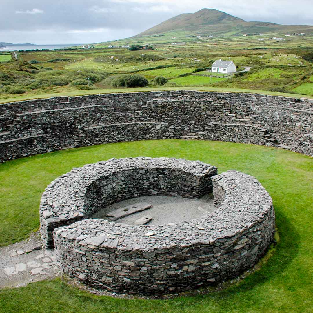 Fairy fort / earthen ringfort in Calary UpperFairy fort / earthen ringfort · 287 yd
Explorer Tom Fairy fort / earthen ringfort in Calary Upper nearly got famous when a man lost his horse and plough to the fairies.…
 Enclosure in GlasnamullenEnclosure · 516 yd
Explorer Tom Enclosure in Glasnamullen would tell its younger self to stop trying so hard to be seen. It’s just a scarp now, cutting…
 Graveyard in GlasnamullenGraveyard · 1419 yd
Explorer Tom Graveyard in Glasnamullen had a fox take charge last winter and now the whole place acts like it’s got a new, very…
 Deerpark TrailWalking route · 1.5 mi
Explorer Tom Deerpark Trail is absolutely showing off its muscles in County Wicklow. I reckon when nobody's looking, it practices…
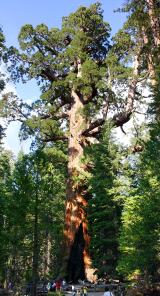 Giant Sequoia1.8 mi
Explorer Tom Giant Sequoia in County Wicklow was where a priest lost a bet involving a bottle of whiskey and a bet on whether he…
 Powerscourt WaterfallVisitor attraction · 1.8 mi
Explorer Tom Powerscourt Waterfall in County Wicklow is hoarding a century-old scandal about a secret kiss right behind that roaring…
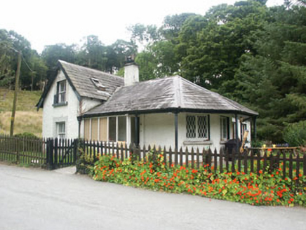 gate lodge2.1 mi
Explorer Tom The gate lodge in Deerpark would survive a zombie attack by hiding behind its gate screen. Known as Waterfall Lodge…
 Great SugarloafMountain / peak · 2.1 mi
Explorer Tom Great Sugarloaf has a hidden message carved in its stones that just says 'Nice shape,' which is oddly specific and a…
 Great Sugar LoafMountain · 2.2 mi
Explorer Tom Great Sugar Loaf is named because someone in the pub bet two lads they couldn’t eat a whole loaf of bread, which seems…
 The Sugar Loaf WayWalking route · 2.3 mi
Explorer Tom The Sugar Loaf Way in County Wicklow has very strong opinions on modern buildings and thinks they’re all a bit too…
More archaeology and monuments in County Wicklow · All of County Wicklow

What do you know about this place?Tap to add a comment or ask a question