What is recorded here
The Catalogues is an islet in County Cork, Ireland. Perhaps the name hints at a forgotten inventory of rocks rather than books. Maybe sailors catalogued the islet's dangers before charting its shape. Imagine a small stone ledger written in seawater and storm light.
The Catalogues is recorded as a islet in County Cork. Its open map record supplies this location and any linked names or public references.
The Catalogues is a small islet located in County Cork, Ireland, noted in historical and geographical records for its inclusion in open map archives. While little is known about its inhabitants, it is notable as a minor but identifiable landform within the broader coastal geography of southern Ireland.
Places near here
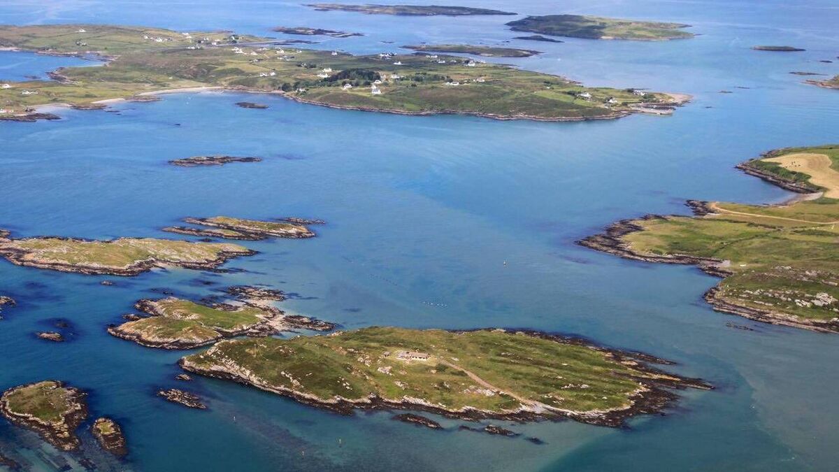 Sandy IslandIslet · 760 yd
 Main BeachBeach / strand · 1160 yd
 Mass-rock in Inishodriscol or Hare IslandMass-rock · 1394 yd
 Childrens Burial GdBurial ground · 1540 yd
 Jeremiah's IslandIslet · 1602 yd
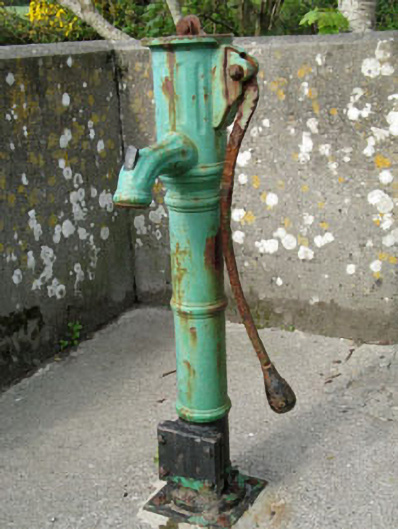 water pumpwater pump · 1.0 mi
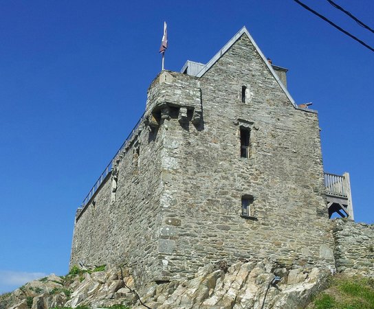 Dún na Long CastleRuins · 1.1 mi
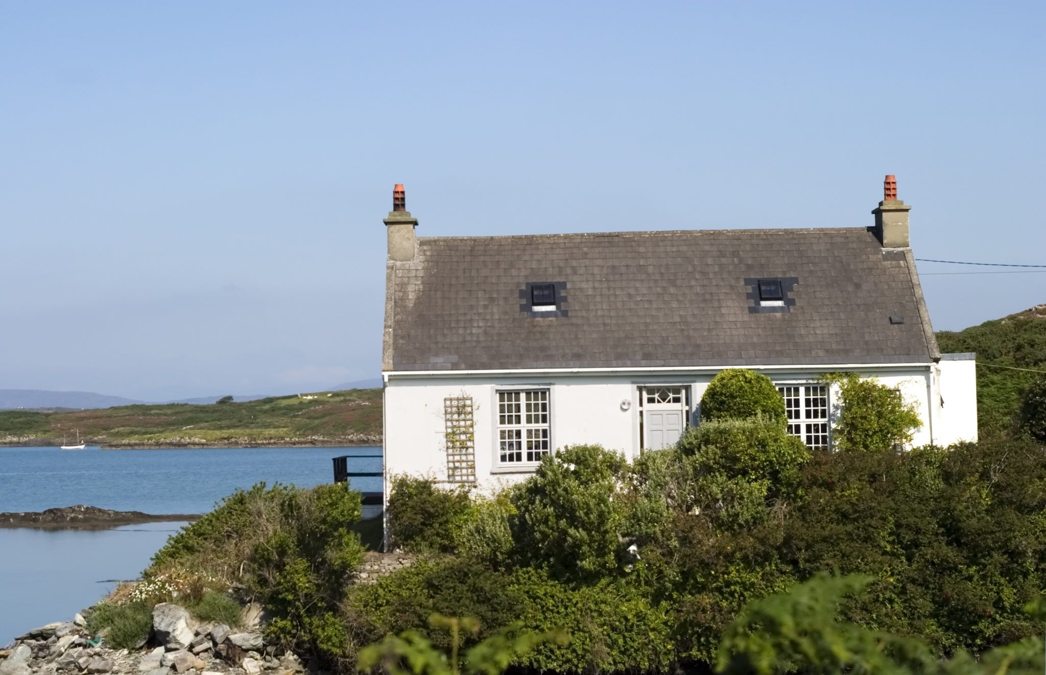 Bawn in Farranacoush (sherkin Island)Bawn · 1.1 mi
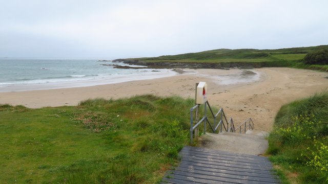 Silver StrandBeach / strand · 1.2 mi
 Abbey (in Ruins)Religious house, Franciscan friars · 1.2 mi
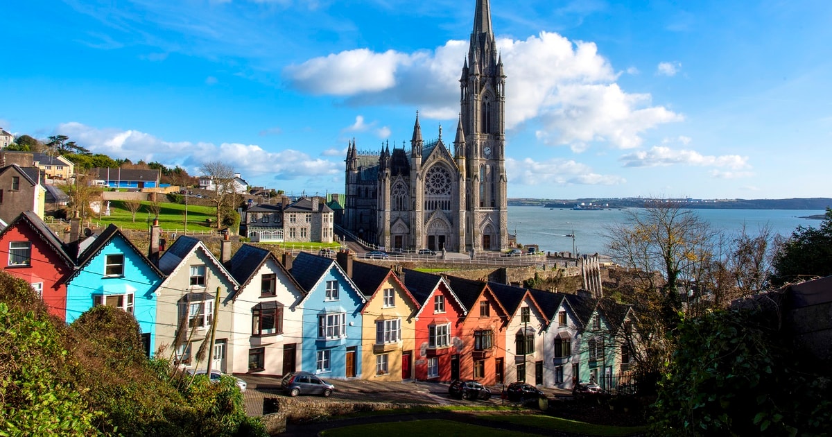 Drowlaun PointHeadland · 1.2 mi
 Cuas an UisceBay · 1.5 mi