
What is recorded here
In rough gorse and heather-covered grazing, on a S-facing slope overlooking a sandy beach. According to Daly (2000, 47), an irregular-shaped boulder (3.7m N-S; 1.2m E-W; H 0.8m) was used as a mass-rock in the past. A rectangular hollow (10cm x 8cm) on the upper surface of the boulder was, according to the landowner, used to hold a chalice.
The above description is derived from 'The Archaeological Inventory of County Cork. Volume 5' (Dublin: Stationery Office, 2009).
Date of upload: 22 December 2009
Images provided by and copyright of Amanda Clarke 2016-2022 https://holywellscorkandkerry.com/
The monument record does not grant public access. Check the route and ask the landowner before entering private land.
- What survives
- Recorded monument
Places near here
 Childrens Burial GdBurial ground · 218 yd
 Main BeachBeach / strand · 234 yd
 Heir IslandIsland · 431 yd
 IllaungawnaIslet · 793 yd
 Cuas an UisceBay · 1344 yd
 Trá na gCruachBeach / strand · 1370 yd
 Tobar Chuas an UisceSpring · 1377 yd
 The BridgeNatural arch · 1410 yd
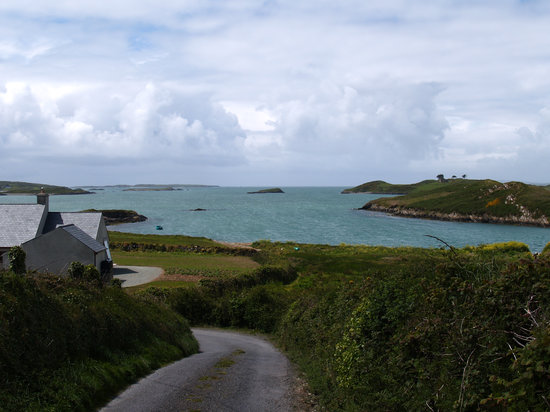 Promontory fortPromontory fort, coastal · 1574 yd
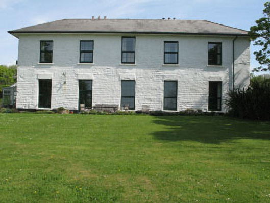 White Hallhome farm · 1.7 mi
 KilnKiln, lime · 1.7 mi
 Rincolisky Castle (in Ruins)Castle, tower house · 1.8 mi
Other information
Photo: Credit not shown in the picture search · Rights wording not checked; contact us if this picture should be removed