
What is recorded here
On flat ground in very gently undulating terrain, under grass. The church is not indicated on the 1st (1840) ed. OS 6-inch map though it is named 'Templeea' and the enclosing oval graveyard (TS077-020002-) is depicted. The 'Site of' the church is depicted in the E quadrant of the enclosure on the 2nd (1906) ed. OS 6-inch map. The church is visible as a denuded, sub-rectangular area (dims. 9.4m NNW-SSE; 13.7m ENE-WSW), defined by a broad earthen bank (Wth 2m crest; 4m base; int. H 0.26m; ext. H 0.25m) with a lot of stones protruding, especially at the W angle. The bank is denuded in the WSW, but there is no clear entrance.
Compiled by: Jean Farrelly
Date of upload: 26 August 2011
The monument record does not grant public access. Check the route and ask the landowner before entering private land.
- What survives
- Recorded monument
Places near here
 Enclosure in Milltown BrittonEnclosure · 134 yd
 Milltown Househouse · 362 yd
 CarrigaunEnclosure · 983 yd
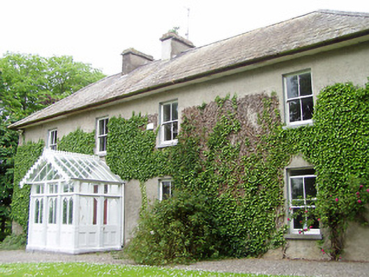 Kilmore Househouse · 1581 yd
 Persian WalnutPersian Walnut · 1.2 mi
 Site of Carrigeen CastleCastle, unclassified · 1.3 mi
 Castle (in ruins)Castle, unclassified · 1.8 mi
 Pedunculate OakPedunculate Oak · 2.5 mi
 East GateMemorial · 3.9 mi
 RetrospectMemorial · 4.7 mi
 Main GuardHeritage attraction · 4.8 mi
 Kilknockan HillMountain / peak · 4.9 mi
Other information
Photo: Credit not shown in the picture search · Rights wording not checked; contact us if this picture should be removed