
What is recorded here
Situated on a low rock outcrop on the low-lying floodplains of the river Shannon. A small rectangular church (ext. dims. 6.7m N-S; 13.2m E-W; wall T 0.8m) built with roughly coursed rubble limestone with only E end of S wall surviving and wall footings elsewhere. At the W end of the church are the wall footings of a cross wall indicating possible priests room (ext. dims. 6.7m N-S; 5.2m E-W). No architectural features evident. The church is situated within a roughly square shaped area (33m N-S; 34m E-W) enclosed by a bank of earth and stones (Wth. 1.5m; ext. H. 0.5m) which is best preserved at N elsewhere it has been reduced to a scarp. There are rows of upright unmarked stones aligned in N/S rows in the S sector of the enclosure. These are the grave-markers of unbaptised children (OF013-007002-) according to the ITA Survey (1942).
The above description is derived from the published 'Archaeological Inventory of County Offaly' (Dublin: Stationery Office, 1997). In certain instances the entries have been revised and updated in the light of recent research.
Date of upload: 23 May 2011
A local church or high cross; wider significance not recorded.
The monument record does not grant public access. Check the route and ask the landowner before entering private land.
- What survives
- Recorded monument
Places near here
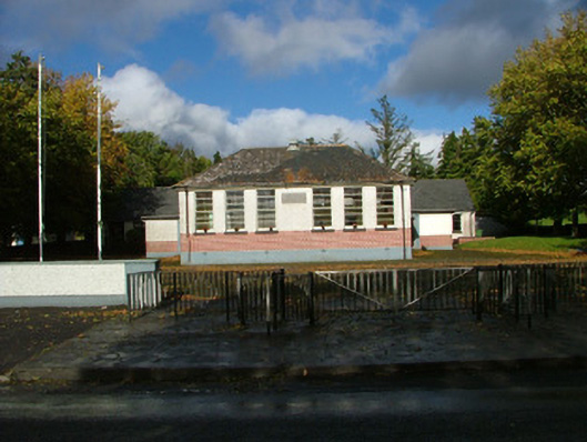 Oliver Plunkett National Schoolschool master's house · 1304 yd
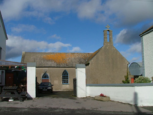 Saint Kieran's Catholic Churchchurch/chapel · 1508 yd
 BarracksCastle, unclassified · 1628 yd
 Shannonbridge - Nearby AttractionsVisitor information · 1645 yd
 Costello's IslandIsland · 1654 yd
 Long IslandIsland · 1.3 mi
 StructureStructure, peatland · 1.7 mi
 Sugarloaf HillMountain / peak · 1.8 mi
 Site of AbbeyReligious house, Augustinian canons · 2.2 mi
 Clonfert CathedralHeritage attraction · 2.2 mi
 European YewEuropean Yew · 2.3 mi
 Horse-chestnutHorse-chestnut · 2.3 mi
Other information
Photo: Credit not shown in the picture search · Rights wording not checked; contact us if this picture should be removed