What is recorded here
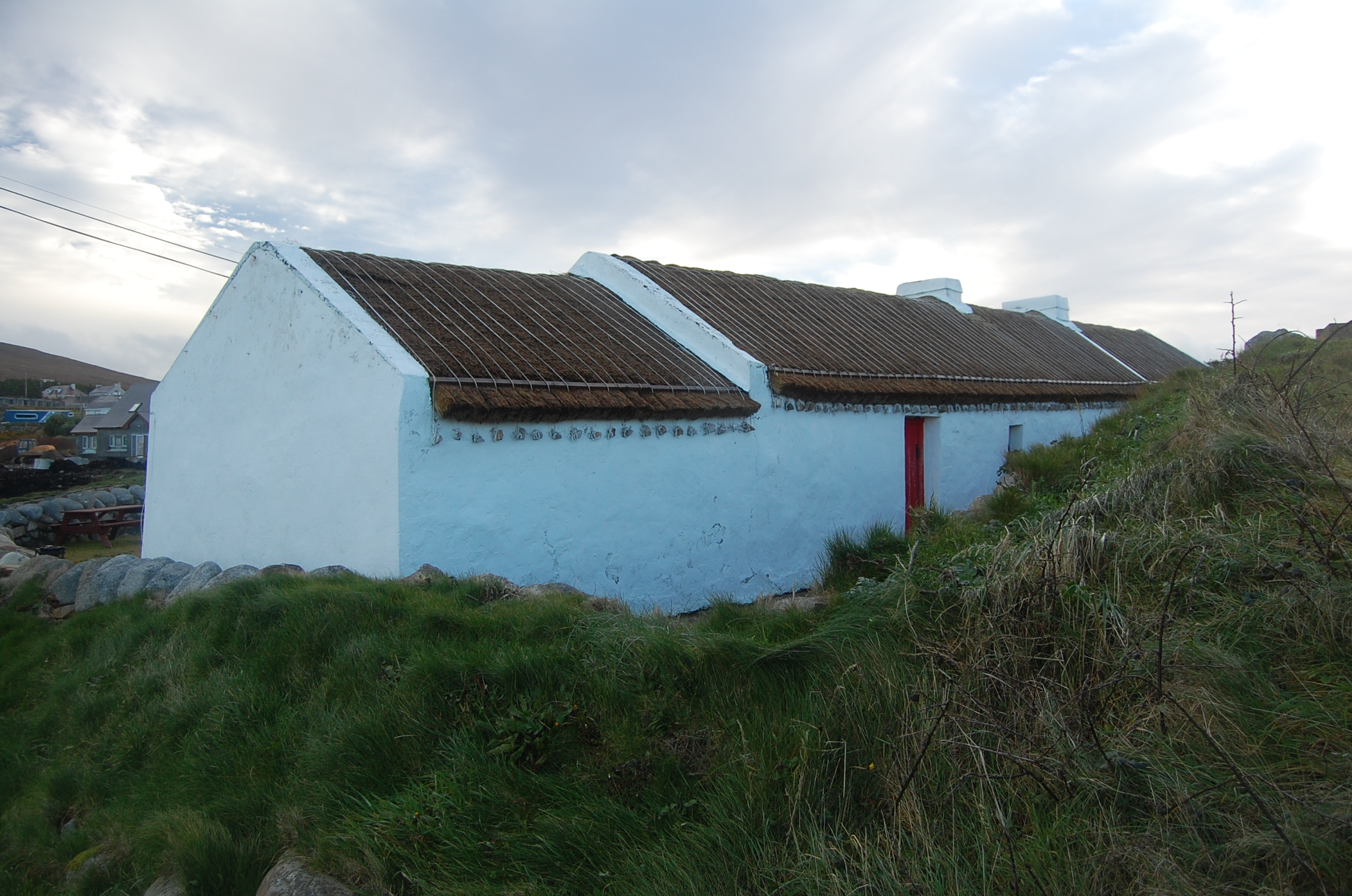
Detached four-bay single-storey vernacular house, built c.1860, having slightly lower outbuilding attached to west gable. Now in use as cultural centre. Low pitched roof with low rendered chimneystacks and roped thatch roof, having timber strips above edge of thatch at eaves to support ends of ropes that are attached to stone fixtures in long walls. Rendered walls. Square-headed window and door openings with battened timber doors, having half-door to rear wall. Altogether only two openings, both doorways, in rear wall - one to house and one to outbuilding. Building located in falling ground at coastal edge. Earthen bank to front (south) side of house and yard to rear, bounded by rubble stone walls.
This recently restored house is an instantly appealing feature in the scenic landscape north of Gaoth Dobhair [Gweedore], overlooking the An Aigéan Atlantach [Atlantic Ocean]. Modest in scale, it exhibits the simple and functional form of Irish domestic vernacular. Of particular interest is the survival of the thatched roof, recently renewed. The rounded roof is typical of thatched houses located close to the sea in exposed areas in the northwest, while the stone pegs at the eaves were used to tie ropes (and sometimes nets or wire mesh) over the roof to secure it against the prevailing winds. The form of this building suggests that it was extended along its length to both gables. It is named after the last resident, Muiris, who died in 1979, and it is said locally that this was a "gathering house" or "half-way house".
From the Buildings of Ireland (National Inventory of Architectural Heritage) record 40902307
This does not grant access. Most recorded buildings are privately owned; view them only from public ground unless the owner allows entry.
Places near here
Photo credits
- Rossographer, Geograph · CC BY-SA 2.0
- National Inventory of Architectural Heritage
- Michael Dibb, Wikimedia Commons · CC BY-SA 2.0
- Joseph Mischyshyn, Wikimedia Commons · CC BY-SA 2.0
- John Daye at en.wikipedia, Wikimedia Commons · CC BY-SA 3.0
- Wanfried-Dublin, Wikimedia Commons · CC BY-SA 4.0
- Rossographer, Wikimedia Commons · CC BY-SA 2.0
- Kieran Evans, Geograph · CC BY-SA 2.0
- N Chadwick, Geograph · CC BY-SA 2.0
- Vadim Manuylov, Wikimedia Commons · CC BY-SA 3.0
 Cnoc FolaVisitor information · 1285 yd
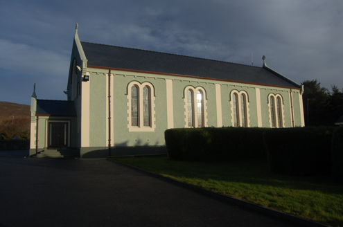 Teach Pobail Cholmcille Naofa [Saint Colmcille's Catholic Church]Church/chapel · 1715 yd
_-_geograph.org.uk_-_5511292.jpg/250px-Cnoc_Fola_(Bloody_Foreland)_-_geograph.org.uk_-_5511292.jpg "Photo: Michael Dibb, Wikimedia Commons · CC BY-SA 2.0") Cnoc FolaMountain / peak · 1.1 mi
Cnoc FolaMountain / peak · 1.1 mi Inis OirthirIsland · 2.2 mi
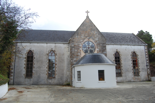 Bunbeg Community CentreChurch/chapel · 3.4 mi
 GabhlaIsland · 4.1 mi
 MagheraroartyOfficial bathing water · 4.6 mi
 Dermot and Granias Bed (1905).Portal tomb · 5.0 mi
 Cairn, CronalaghtPublicly named cairn · 5.0 mi
 Braade StrandBeach / strand · 6.2 mi
 CarrickfinnOfficial bathing water · 6.4 mi
 Monterey Cypress7.6 mi
More historic places in County Donegal · All of County Donegal
What do you know about this place?