
What is recorded here
Map note: The map marks Tarbert, Barmore Road, General as an ancient site near Tarbert, Argyll and Bute, Scotland. There is no need to invent a lost kingdom to make the name interesting.
Places near here
Photo credits
- The Carlisle Kid, Wikimedia Commons · CC BY-SA 2.0
- Nick Mutton 01329 000000, Wikimedia Commons · CC BY-SA 2.0
- Stuart Wilding, Wikimedia Commons · CC BY-SA 2.0
- Rob Farrow, Wikimedia Commons · CC BY-SA 2.0
- Maker not stated on source page, www.tripadvisor.co.uk
- Euan Nelson, Wikimedia Commons · CC BY-SA 2.0
- James T M Towill, Wikimedia Commons · CC BY-SA 2.0
- M J Richardson, Wikimedia Commons · CC BY-SA 2.0
- Maker not stated on source page, www.historichouses.org
- sylvia duckworth, Wikimedia Commons · CC BY-SA 2.0
 War MemorialMemorial · 79 yd
 Tarbert Harbour WallsWall · 229 yd
 Tarbert HarbourHarbour · 239 yd
 Tarbert, Harbour Street, Tarbert HotelHotel (19th Century) · 260 yd
 Tarbert, Church Street, Free ChurchChurch (mid 19th Century) · 283 yd
 Tarbert, Tarbert CastleCastle (medieval) · 382 yd
 Tarbert CastleRuins · 430 yd
 Eilean a' ChòicIsland · 588 yd
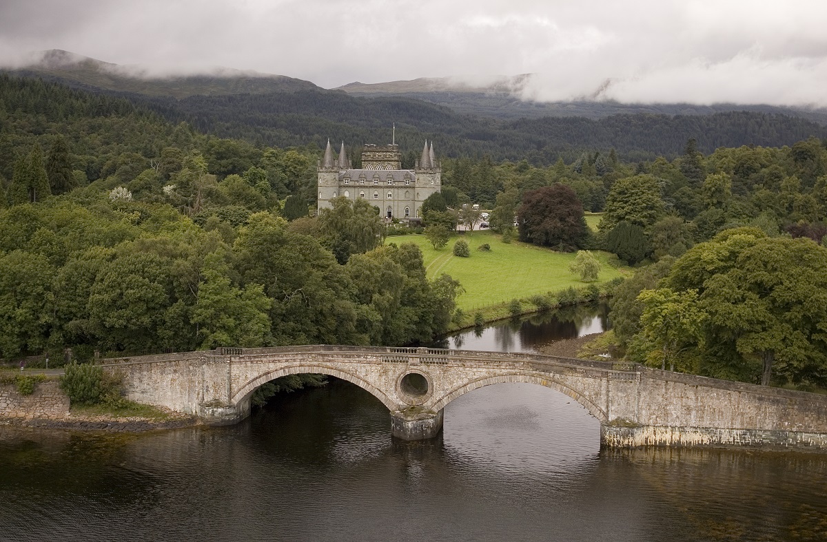 Inverary Castle: East Loch Tarbert, Lower Loch Fyne, Firth of ClydeSteamship (19th Century) · 631 yd
 East Loch TarbertBay · 827 yd
 West Loch TarbertEnclosure · 1486 yd
 GlenrallochWalled Garden · 1658 yd
More archaeology and monuments in Argyll and Bute · All of Argyll and Bute

What do you know about this place?Tap to add a comment or ask a question