What is recorded here
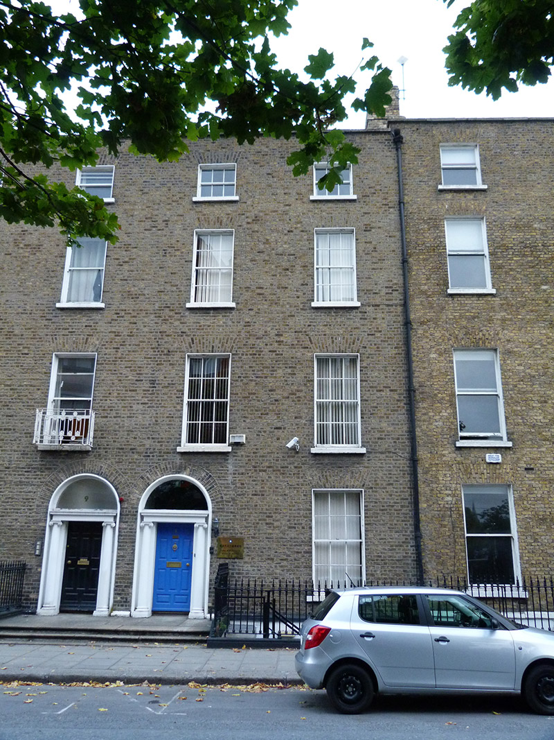
Terraced two-bay four-storey over basement former townhouse, built c. 1830, with three-storey return to rear (north) elevation. Now in use as offices. M-profile pitched roof, hidden behind brick parapet with granite coping, having brick chimneystacks with clay pots and cast-iron rainwater goods to east end. Brown brick walls laid in Flemish bond over masonry plinth course and rendered walls to basement to front (south) elevation. Square-headed window openings with masonry sills and raised rendered reveals, having six-over-six pane timber sliding sash windows to ground, first and second floor and three-over-three pane timber sliding sash windows to third floor. Square-headed window openings with rendered reveals and replacement timber casement window to basement to front elevation. Square-headed openings with rendered reveals and masonry sills having six-over-six pane timber sliding sash windows or replacement timber casement windows to rear elevation. Round-headed door opening with rendered reveals, having Ionic columns supporting plain frieze and cornice, with replacement plain fanlight and timber panelled door. Granite platform having cast-iron bootscraper with nosed granite steps, shared with building to west, flanked by wrought-iron railings on masonry plinth, continuing to east to enclose basement area. Located on north side of Hatch Street.
A typical late Georgian house, the restrained classical façade is ornamented by the cast-iron work railings. The Ionic doorcase, which is paired with a similar doorcase to the west, represents the work of a skilled artisan and contributes to the artistic character of the building. Located within the Fitzwilliam Estate, which covered much of the south-east of the city, Hatch Street is named for John Hatch who leased development land from the Leeson family. While the street was approved by the Wide Street Commission in 1791, subsequent development was slow, only occurring in the first half of the nineteenth century. The eastern end of the street had been fully developed by the 1830s and the townhouses appear on the first edition Ordnance survey map.
This does not grant access. Most recorded buildings are privately owned; view them only from public ground unless the owner allows entry.
Places near here
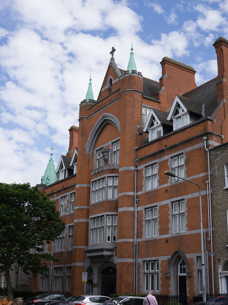 Hatch Hallhall of residence · 57 yd
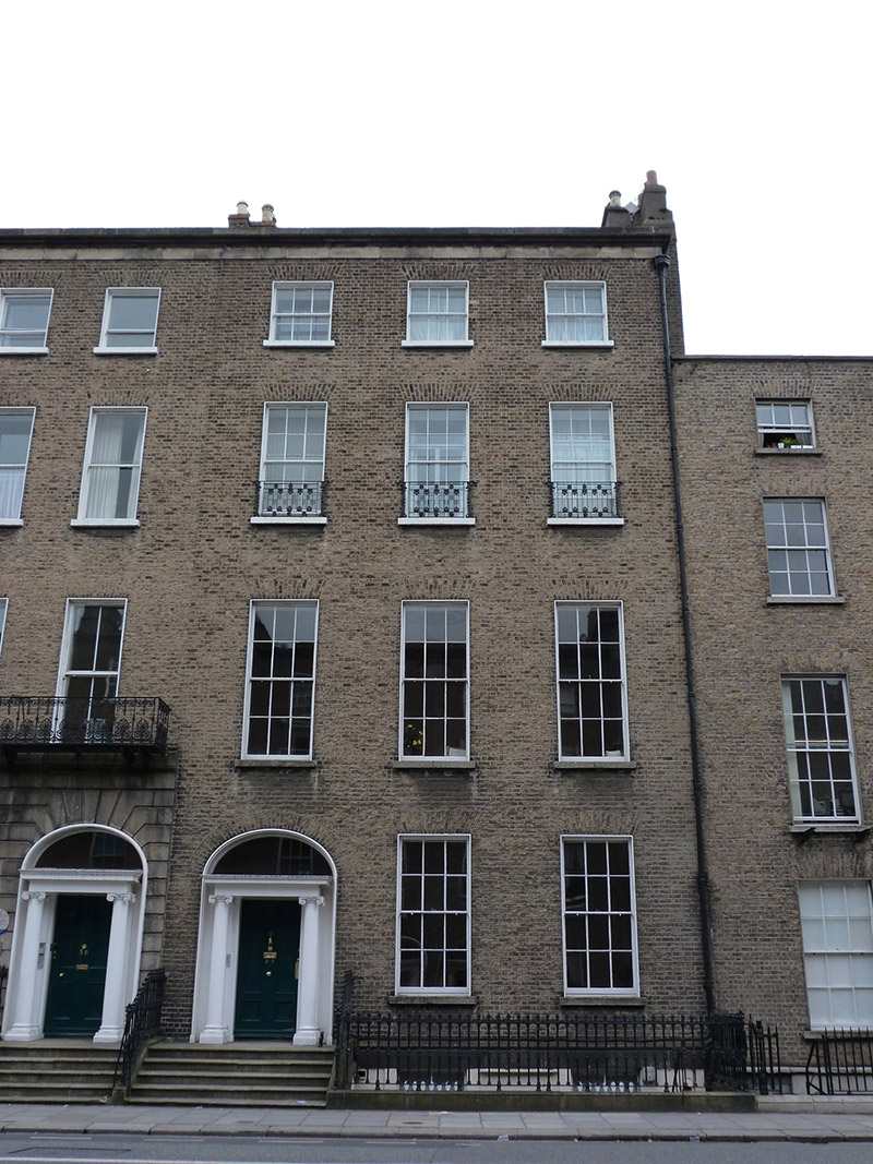 Jesuit Community Househouse · 148 yd
 Count John McCormackMemorial · 272 yd
 Memorial to Human Rights DefendersMemorial · 329 yd
 Museum of Literature IrelandMuseum · 433 yd
 The Copper House GalleryGallery · 829 yd
 Habitation site in Unknown TownlandHabitation site · 903 yd
 Battle of RathminesMajor battlefield · 1111 yd
 Gatehouse in Unknown TownlandGatehouse · 1136 yd
 Bigleaf MapleBigleaf Maple · 1219 yd
 Oriental planeOriental plane · 1253 yd
 Medieval DublinVisitor information · 1746 yd
Other information
Photo: National Inventory of Architectural Heritage · Website use allowed for educational or private purposes with source credit