What is recorded here
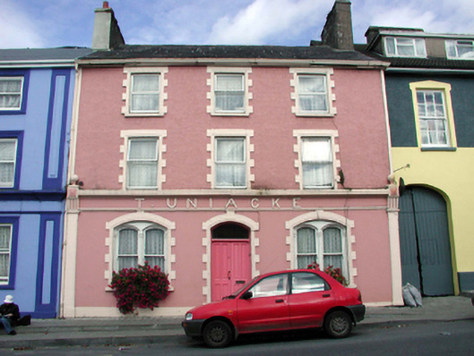
Terraced three-bay three-storey house, c.1870, retaining some original fenestration with shopfront to ground floor. Refenestrated, c.1995. Now entirely in residential use. Pitched (shared) slate roof with clay ridge tiles, rendered chimney stacks, and replacement uPVC rainwater goods, c.1995, on rendered eaves retaining original cast-iron hopper and downpipe. Painted rendered wall to ground floor with rendered shopfront comprising pilasters with fascia over on stringcourse having raised lettering, decorative consoles having ball finials, and moulded cornice. Painted roughcast wall to upper floors with rendered strips to ends. Paired shallow segmental-headed window openings to ground floor in shallow segmental-headed recess with rendered sills, painted red brick block-and-start surrounds having moulded reveals, and 1/1 timber sash windows with Corinthian colonette mullions. Square-headed window openings to upper floors with rendered sills, and painted red brick block-and-start surrounds having moulded reveals. Replacement uPVC casement windows, c.1995. Segmental-headed door opening with painted red brick block-and-start surround having moulded reveals, timber panelled double doors, and overlight. Road fronted with concrete brick cobbled footpath to front.
An attractive house retaining most of its original form and much of its original fabric, although the inappropriate replacement fittings to the openings to the upper floors have not had a positive impact on the external expression of the composition. Features such as the paired window openings, together with the fine rendered shopfront, augment the architectural design quality of the composition, and enhance the position of the house in the streetscape of Main Street.
This does not grant access. Most recorded buildings are privately owned; view them only from public ground unless the owner allows entry.
Places near here
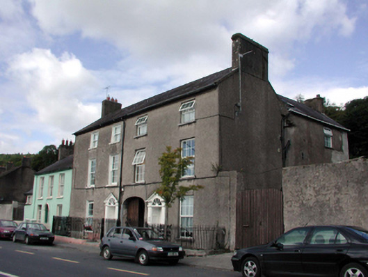 Arriganshouse · 31 yd
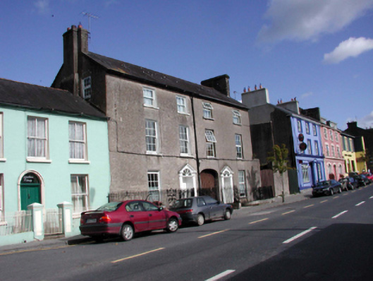 The Old Barrackshouse · 39 yd
 Cappoquin Ho.Castle, unclassified · 248 yd
 Sweet ChestnutSweet Chestnut · 404 yd
 TombBurial ground · 652 yd
 Coillte infoboardVisitor information · 1.1 mi
 European YewEuropean Yew · 1.2 mi
 WaterfallViewpoint · 1.3 mi
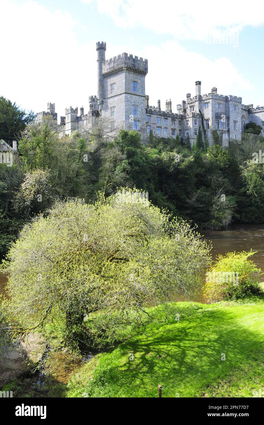 Embanked enclosureFairy fort / ringfort · 1.3 mi
 CastleCastle, unclassified · 1.6 mi
 Glenshelane Red WalkWalking route · 1.6 mi
Other information
Photo: National Inventory of Architectural Heritage · Website use allowed for educational or private purposes with source credit