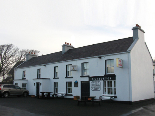
What is recorded here
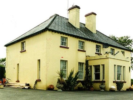
Detached six-bay two-storey farmhouse, extant 1943, possibly originally two separate two-bay (north) or four-bay (south) two-storey houses with single-bay single-storey flat-roofed projecting porch to ground floor. Extensively renovated. Replacement pitched slate roof with clay ridge tiles, concrete or rendered coping to gables with rendered chimney stacks to apexes centred on rendered chimney stack having corbelled stepped stringcourses below capping supporting terracotta pots, and uPVC rainwater goods on eaves boards on rendered eaves. Replacement rendered walls. Square-headed window openings including one square-headed window opening in tripartite arrangement (ground floor) with concrete or rendered sills, timber mullions to tripartite opening, and concealed dressings framing replacement two-over-two timber sash windows having one-over-one sidelights to tripartite opening. Road fronted on a corner site with tarmacadam verge to front.
A farmhouse reconstructed for Thomas Staunton (d. 1943) not only as the successor to, but most likely retaining at its core the basis of two houses marked on the first edition of the Ordnance Survey (surveyed 1838; published 1840). Having been well maintained, the elementary form and massing survive intact together with quantities of the original or replicated fabric, thereby upholding the character or integrity of a farmhouse making a pleasing visual statement in the shadow of Croagh Patrick.
From the Buildings of Ireland (National Inventory of Architectural Heritage) record 31308703
This does not grant access. Most recorded buildings are privately owned; view them only from public ground unless the owner allows entry.
Places near here
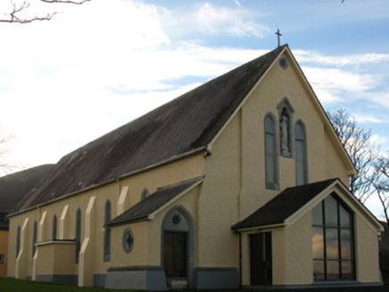 Saint Patrick's Catholic ChurchChurch/chapel · 49 yd
 Convent of MercyConvent/nunnery · 221 yd
 Ben GoramMountain / peak · 1.5 mi
 Leaba PatrickMemorial · 1.7 mi
 Croagh PatrickMountain / peak · 1.7 mi
 National Famine MemorialHeritage attraction · 1.9 mi
 Croagh Patrick Pilgrim TrailWalking route · 2.1 mi
 InishleagueIslet · 2.2 mi
 InishdaughIslet · 2.2 mi
 Crott MountainMountain / peak · 2.8 mi
 Old Head BeachBeach / strand · 2.9 mi
 Graveyard3.4 mi
Pictures: National Inventory of Architectural Heritage; Mick Garratt, Wikimedia Commons · CC BY-SA 2.0; Eric Jones, Geograph · CC BY-SA 2.0; EamonnPKeane at English Wikipedia, Wikimedia Commons · Public domain; A.-K. D., Wikimedia Commons · CC0; Colin Park, Geograph · CC BY-SA 2.0; Graham Horn, Geograph · CC BY-SA 2.0; Oliver Dixon, Geograph · CC BY-SA 2.0; Keith Salvesen, Geograph · Creative Commons Attribution-ShareAlike 2.0
More historic places in County Mayo · All of County Mayo
What do you know about this place?