DDiscover AloneMapAbout

Sweathouse in Teeromoyle

Sweathouse

The monument record does not grant public access. Check the route and ask the landowner before entering private land.

What do you know about this place?Tap to add a comment or ask a question

What you write will be public.

What is recorded here

The following description of this monument was kindly provided by Aidan Harte: 'The sweathouse is positioned on the lower south-west facing slope of a spur extending west from Teeromoyle Mountain, just inside the limits of modern maintained pasture. However, the slope here is quite gentle and the soils retain…

Read the whole record
The following description of this monument was kindly provided by Aidan Harte: 'The sweathouse is positioned on the lower south-west facing slope of a spur extending west from Teeromoyle Mountain, just inside the limits of modern maintained pasture. However, the slope here is quite gentle and the soils retain moisture promoting vegetation such as reeds. There are extensive views to the southwest and west towards Coomduff. The structure itself is generally well preserved. Externally, the sweathouse structure is clearly rectangular in plan and is built into a substantial field boundary. This boundary is orientated west-northwest/east-southeast and forms the northern wall of the structure. It measures 1.2m in width, averages 0.9m high and is composed of rubble on which gorse/furze bushes have grown. The masonry of the structure consists of drystone grey sandstone rubble slabs, fitted in a drystone method, crudely in places. Although, the external walls are low, at only 0.9m in height, they are almost vertical. The roof is covered with sod and reaches a maximum external of 1.4m (Plate 20). The mantle/sod is an estimated 0.15m in thickness and seems that it has been intentionally places on the structure. The entrance is formed using the field boundary as its northern side. The entrance, therefore, opens to the east-southeast. It is of simple flat-lintel design and measures 0.75m in height by 0.48m in width. The southern side of the doorway is formed by five courses which form a straight edge at the doorway, while the other side is defined by a large boulder from ground level to the lintel. This large boulder also forms part of the field boundary and is 1.2m in length. The thickness of the wall at the entrance is also its thinnest measurement at 0.48m, while the rear wall of the structure is 0.9m in thickness. The interior of the structure is sub-rectangular in plan and measures 1.38m north-south by 1.7m east-west (Plate 22). The internal height measured 1.1m. The ceiling is flat and formed by a single large slab. There is no smoke outlet, although there is a breach in the rear wall where some of the stones have collapsed outward. It is unlikely however, that this was originally a smoke outlet. There is no internal collapse and so the floor level is probably nearly representative of original. The interior wall faces show no signs of having been heated. To the east, a mountain stream flows downslope from the north. This is 35m east of the entrance to the sweathouse. The structure is not found in close association with any other archaeological monument. However, the surrounding landscape is rich in sites. There is an early ecclesiastical site (KE070-007003-) approximately 300m to the west southwest. There are also multiple hut-sites to the north and east but all are a significant distance from the Sweathouse. This townland also has several examples of rock art and relict field systems. Local landowners were aware of the structure but had never known of its use. There is no tradition of sweathouse use in the locality. While the boundary to which the structure is adjoined in now relict, there is little possibility that it will be removed due to the methods of agriculture employed on the mountainside.' Compiled by: Aidan Harte Date of upload: 2 May 2017

From the National Monuments Service (Archaeological Survey of Ireland) record KE070-136

Places near here

Photo credits
  • Maker not stated on source page, www.flickr.com
  • Maker not stated on source page, www.pinterest.com
  • Maker not stated on source page, www.irishexaminer.com
  • Maker not stated on source page, commons.wikimedia.org
  • Maker not stated on source page, uk.pinterest.com
  • Maker not stated on source page, www.alamy.com
  • Dr Charles Nelson, Wikimedia Commons · CC BY-SA 2.0
  • User:Cqui, Wikimedia Commons · CC BY-SA 3.0
  • Maker not stated on source page, www.maltatoday.com.mt
  • Maker not stated on source page, www.dreamstime.com
  • Maker not stated on source page, www.joinmychurch.com
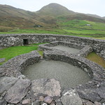
Fairy fort / stone ringfort in TeeromoyleFairy fort / stone ringfort · 1280 yd

Explorer Tom Fairy fort / stone ringfort in Teeromoyle in County Kerry is called the White Fort. A poet fell in the ditch nearby and…

Fairy fort / earthen ringfort in CoulaghFairy fort / earthen ringfort · 1578 yd

Explorer Tom Fairy fort in Coulagh has had so many names over the centuries that it’s given up trying to remember its own identity.…

Fairy fort / earthen ringfort in ToonFairy fort / earthen ringfort · 1580 yd

Explorer Tom Fairy fort / earthen ringfort in Toon has a New Year's resolution to stop being split by the road. It’s trying hard to…

Graveyard in CaherlehillanGraveyard · 1.0 mi

Explorer Tom Graveyard in Caherlehillan thinks the road leading to it is rude for not having better potholes. It has eighteen graves…

Fairy fort / stone ringfort in CaherlehillanFairy fort / stone ringfort · 1.1 mi

Explorer Tom Caherlehillan claims to be older than the mountains themselves, which is probably a stretch but who’s counting? Most of…
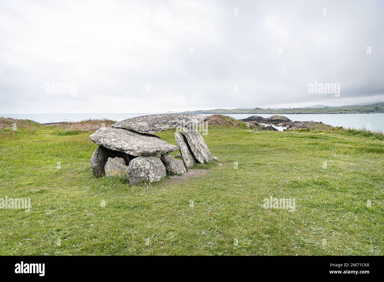
Wedge tomb in CaherlehillanWedge tomb · 1.2 mi

Explorer Tom Wedge tomb in Caherlehillan hosted a fake royal visit from a king who was actually just a very confused farmer. It’s…

CaunogeMountain / peak · 1.3 mi

Explorer Tom Caunoge has hidden messages in its stones, mostly just the word 'nope' written in lichen. I bet if you scratch the…

Fairy fort / stone ringfort in CahernamanFairy fort / stone ringfort · 1.7 mi

Explorer Tom Fairy fort / stone ringfort in Cahernaman is like that uncle at the wedding who ate all the canapés and left only…

KnocknadobarMountain / peak · 4.7 mi

Explorer Tom Knocknadobar rises above the Kerry coast with a pilgrim path on one side and the kind of view that makes a tired walker…

IllaunnacartanIslet · 5.0 mi

Explorer Tom The map makers probably got Illaunnacartan wrong because they were drunk on porter and mistook a shadow for land. Now…

Ballinakilla CemeteryCemetery · 5.7 mi

Explorer Tom Ballinakilla Cemetery in County Kerry was saved by a hero nobody remembers who once stopped a rogue cow from trampling…

Church in KillogroneChurch · 6.0 mi

Explorer Tom Church in Killogrone in County Kerry is hiding a treasure that is definitely just an old biscuit tin. It’s sandwiched…

More archaeology and monuments in County Kerry · All of County Kerry

Add to this placeAdd a picture Add a detailed tip Add a story

Explore the map1,095,414 places to discover

Next place · or swipeFairy fort / stone ringfort in Teeromoyle