What is recorded here
Not depicted on any ed. of the OS 6-inch maps. Ó Duigneáin (Teathbha 1969, 53) described it as being situated at an elevation of 'some five hundred feet' and in 'a good state of preservation'. Not located.
Compiled by: Patrick F. O'Donovan
Date of upload: 26 August 2011
The monument record does not grant public access. Check the route and ask the landowner before entering private land.
- What survives
- Recorded monument
Places near here
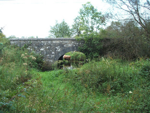 bridgebridge · 521 yd
 IndicatedFairy fort / earthen ringfort · 823 yd
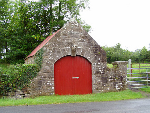 forge/smithyforge/smithy · 1428 yd
 Structure in KilmahonStructure · 1.1 mi
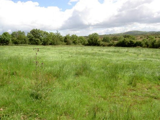 battlefieldbattlefield · 1.6 mi
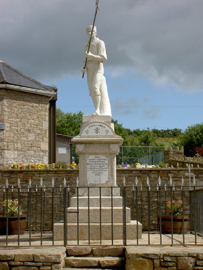 1798 Monumentmonument · 1.6 mi
 Ballinamuck Bog LoopWalking route · 1.9 mi
 Native Woodland Trust: Farnaght ReserveWood · 3.0 mi
 CastleCastle, unclassified · 4.4 mi
 North Midland Transport CollectionMuseum · 4.9 mi
 Bawn in CurrycahillBawn · 5.0 mi
 Ballinalee Forest WalkForest · 5.4 mi