
What is recorded here
Situated on the flat bed of a stream gully and built into the steep valley side; the stream is 6m to the NE. An approximately square mound of earth and stone (dims. 4m x 4m; H 2m) covering a square chamber (dims. 1.52m x 1.52m) with a corbelled roof (H 1.73m) and a beaten earth floor. The top portion of the roof was damaged in 1967 (SMR file). The chamber is entered from the NNE side via a narrow passage (L 1.5m; Wth 0.44m; H 0.57-0.62m) with a slanting slab roof. (Price 1952, 180-81)
The above description is derived from the published 'Archaeological Inventory of County Wicklow' (Dublin: Stationery Office, 1997). In certain instances the entries have been revised and updated in the light of recent research.
Updated by: Paul Walsh
Revised date of upload: 2 March 2015
A local holy well or ritual site; wider significance not recorded.
The monument record does not grant public access. Check the route and ask the landowner before entering private land.
- What survives
- Recorded monument
Places near here
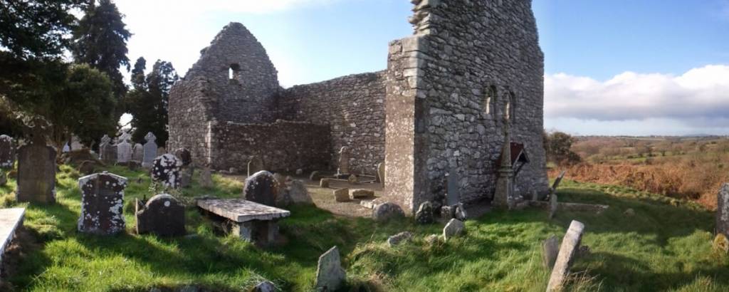 Church in AnnacarneyChurch · 467 yd
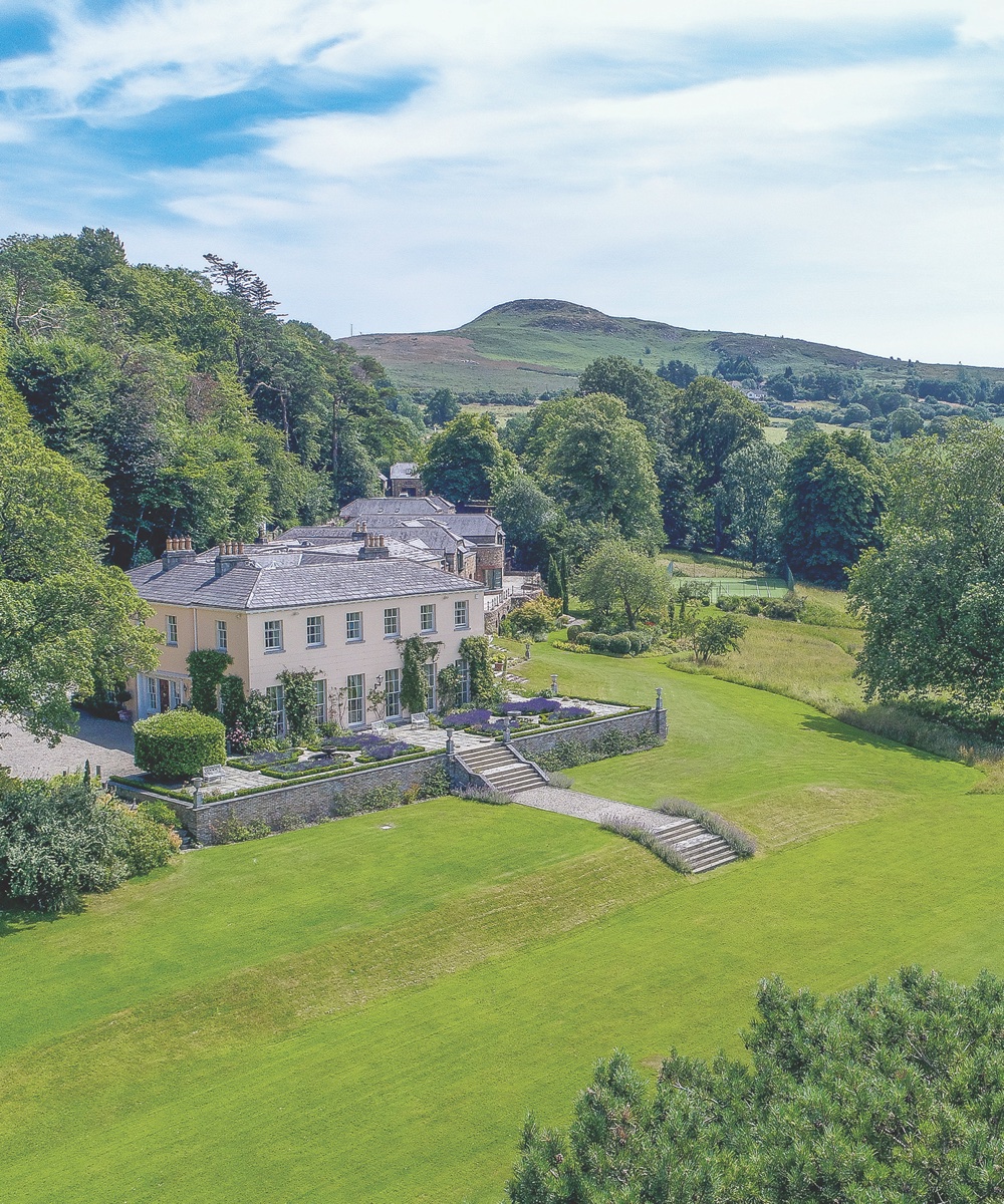 Marlfields HouseRuins · 1629 yd
 Cross in Lockstown LowerCross · 1728 yd
 Enclosure in Lockstown LowerEnclosure · 1.0 mi
 Land Grabber MemorialRuins · 1.3 mi
 SilseanMountain / peak · 1.9 mi
 Hollywood Horse and Pony TrekkingHeritage attraction · 2.6 mi
 MoanbaneMountain / peak · 2.7 mi
 Hollywood SignHeritage attraction · 3.0 mi
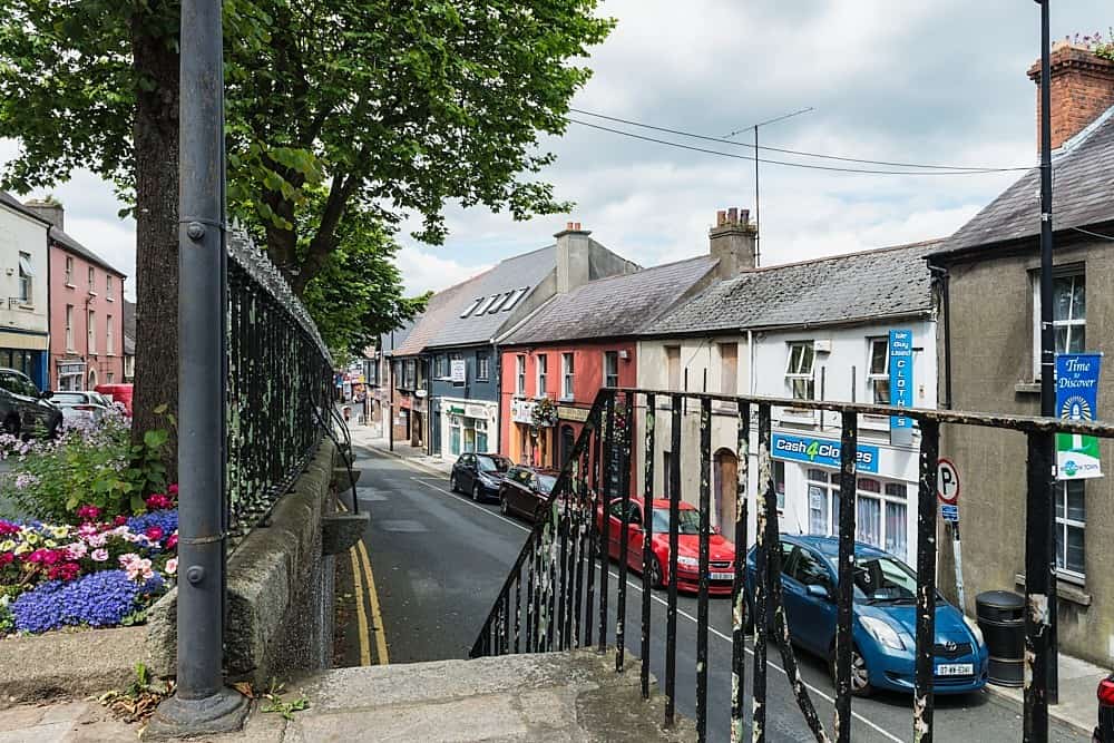 CastleCastle, unclassified · 3.1 mi
 European YewEuropean Yew · 3.2 mi
 Castle BankCastle, motte and bailey · 3.2 mi
Other information
Photo: Credit not shown in the picture search · Rights wording not checked; contact us if this picture should be removed