What is recorded here
Listed in both the SMR (1989) and RMP (1995) and classified 'Sweathouse'. In wet upland pasture, on an E-facing slope overlooking the Camoge River 20m to S. It is not marked on the 1838 edition of the OS 6-inch map. A D-shaped depression (1.5m NE-SW; 1.2m NW-SE; D 0.8m), covered with overgrowth, with an entrance (Wth 0.4m; L 0.75m) on the straight SE side. The sides of the depression are lined with rough courses of unmortared limestone rubble and the base is muddy and covered with limestone rubble. According to local information, the sweathouse originally had a domed stone roof. This is probably post-1700 AD in date.
Compiled by: Archaeological Survey Unit, UCC
Date of upload: 05 January 2012
The monument record does not grant public access. Check the route and ask the landowner before entering private land.
- What survives
- Recorded monument
Places near here
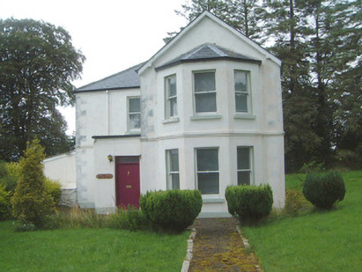 The Old Rectorypresbytery/parochial/curate's house · 1543 yd
 Geevagh Prisoners 1908 MemorialMemorial · 1574 yd
 Granny's Wellwater pump · 1589 yd
 Ritual siteRitual site, holy/saint's stone · 1.3 mi
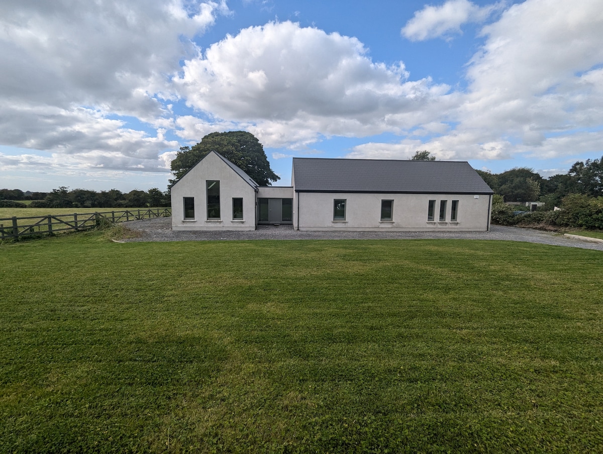 Enclosure in CarrownadargnyEnclosure · 1.5 mi
 Tobar Ailbhe Holy WellMemorial · 1.6 mi
 Carrane HillCliff · 1.9 mi
 CastleCastle, motte and bailey · 2.7 mi
 Barroe NorthMountain / peak · 3.1 mi
 Black WoodForest · 3.2 mi
 Roundhouse Hill WoodForest · 3.2 mi
 Green IslandIslet · 3.4 mi