What is recorded here
Pre-development investigations in 2001 by Finola O'Carroll under licence No. 01E0370 identified part of a field system adjacent to Bremore castle (DU002-002002-) along with a slate sundial. The results of this excavation was summarised as follows; 'Excavation of an area adjacent to the site of Bremore Castle commenced in April 2001 in advance of a large-scale housing development to the north of a medieval complex. The site consists of a large open field covering approximately 4.5ha, the eastern quarter of which is to remain as parkland. The castle lies immediately to the south, surrounded by a number of modern farm buildings, and is currently being restored. The modern N1 road borders the field to the west, and a lane running from this road to the castle yard forms the field’s southern boundary. The sea lies 300m to the east.
Closer to the castle a pit was excavated, contemporary with the cobbling and containing a large amount of late medieval pottery. A second pit excavated adjacent to the southern ditch also contained a large quantity of medieval pottery and a handsome slate sundial, possibly unfinished, of late medieval date. The possible footprint of a small structure, of either medieval or early post-medieval date, was also exposed in the vicinity, between these two pits' (www.excavations.ie 2001:324).
See attached photograph of sundial courtesy of M.J. Harley (https://www.sundials-ireland.com/amedieval/medbremore.htm)
Compiled by: Caimin O'Brien
Date of upload: 27 May 2022
The monument record does not grant public access. Check the route and ask the landowner before entering private land.
- What survives
- Recorded monument
Places near here
 Field system in BremoreField system · 1 yd
 Barn in BremoreBarn · 194 yd
 CastleHouse, fortified house · 208 yd
 Bremore CastleCastle · 211 yd
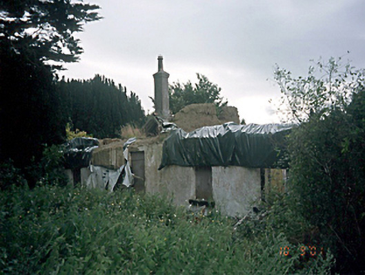 Bremore Cottagehouse · 222 yd
 Grave YardGraveyard · 256 yd
 Balbriggan Tourist OfficeVisitor information · 1406 yd
 Clonard SpringSpring · 1.4 mi
 Barn WoodWood · 1.9 mi
 European YewEuropean Yew · 2.1 mi
 Balrothery Heritage CentreMuseum · 2.2 mi
 Flat cemetery in DarcystownFlat cemetery · 2.4 mi