
What is recorded here
Pre-development investigations in 2001 identified part of a field system adjacent to Bremore castle (DU002-002002-). Two parallel ditches extending E-W (L 150m) and 50m apart formed the borders. Cultivation seems to have taken place in the enclosed plot and the field system may have extended across the present N1 road, joining to a lane known locally as Hamlet Lane which runs along the same E-W axis as the southern ditch (O'Carroll 2003, 79-80). Analysis of charred remains from the furrows yielded evidence for cereal grains, principally wheat, barley , oats and legumes. This suggests a pattern of intensive cultivation and crop rotation. Prior to the setting out of the field, the area was already used for cultivation. A shallow, flat-bottomed broad feature which produced Leinster Cooking Ware and 13th to 14th century local wares was interpreted as the remains of a manure heap. At a later stage in the 16th to early 17th century these fields may have been transformed into a parkland or orchard (O'Carroll 2009, 75-87).
Compiled by: Geraldine Stout
Date of upload: 26 August 2011
The monument record does not grant public access. Check the route and ask the landowner before entering private land.
- What survives
- Recorded monument
Places near here
 Barn in BremoreBarn · 194 yd
 CastleHouse, fortified house · 208 yd
 Bremore CastleCastle · 211 yd
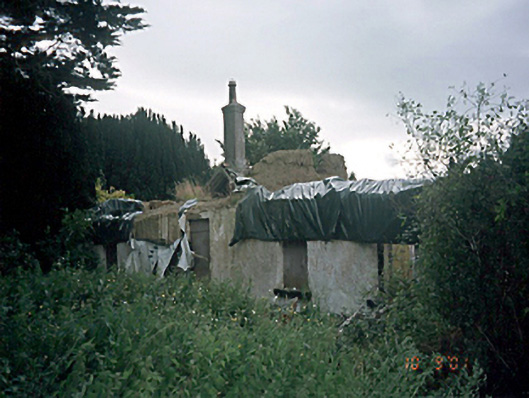 Bremore Cottagehouse · 222 yd
 Grave YardGraveyard · 256 yd
 Mound in BremoreMound · 565 yd
 Balbriggan Tourist OfficeVisitor information · 1406 yd
 Clonard SpringSpring · 1.4 mi
 Barn WoodWood · 1.9 mi
 European YewEuropean Yew · 2.1 mi
 Balrothery Heritage CentreMuseum · 2.2 mi
 Flat cemetery in DarcystownFlat cemetery · 2.4 mi
Other information
Photo: Credit not shown in the picture search · Rights wording not checked; contact us if this picture should be removed