
What is recorded here
Situated on a slight slope at the N bank of the river near cliff edge. Pedestrian access to beach runs by it to north, drainage ditch to south. Comprises an overgrown oval, flat-topped mound (basal diam.9m, top 3m E-W, 2.2m N-S, H 2.5m).
Compiled by: Geraldine Stout
Update by: Christine Baker
Date of upload: 27 October 2014
A Neolithic burial mound, likely dating to the 4th–3rd millennium BCE. Its location near the river and cliff edge suggests a strategic or ritual significance, possibly as a marker or ceremonial site.
The monument record does not grant public access. Check the route and ask the landowner before entering private land.
- What survives
- Recorded monument
Places near here
 Enclosure in TankardstownEnclosure · 102 yd
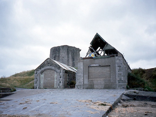 lifeboat stationlifeboat station · 158 yd
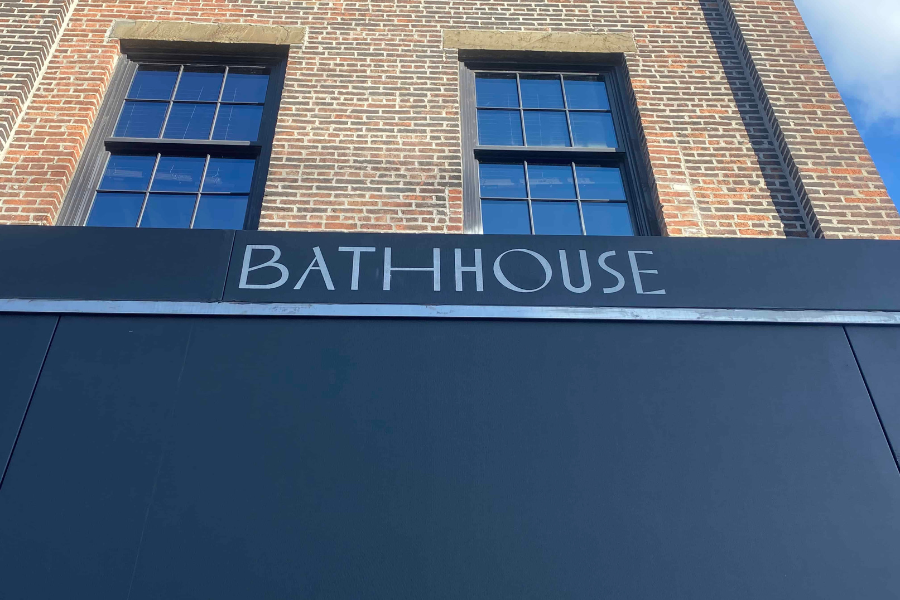 BathhouseRuins · 167 yd
 Martello TowerMartello tower · 187 yd
 CastleHouse, fortified house · 368 yd
 Bremore CastleCastle · 368 yd
 Balbriggan Tourist OfficeVisitor information · 964 yd
 Clonard SpringSpring · 1.5 mi
 Barn WoodWood · 1.6 mi
 Balrothery Heritage CentreMuseum · 2.1 mi
 New PlantationWood · 2.2 mi
 Flat cemetery in DarcystownFlat cemetery · 2.2 mi
Other information
Photo: Credit not shown in the picture search · Rights wording not checked; contact us if this picture should be removed