What is recorded here
Well depicted as Sunday Well on the 1837 ed. OS 6-inch map. Located on the S side of Sunday’s Well Road in the historic town of Mullingar (WM019-089----). Depicted as Sunday Well (Covered) on the 1910 ed. OS 25-inch map. Described in 1983 as ‘a small spring by the roadside covered by a mortared limestone well house, the spring confined now to an area approx. 2m by 1m. The water flows out of an arched opening into a narrow stone lined channel and thence down a drain. The keystone on the arch bears the date 1816’ (SMR File 22/07/1983).
Compiled by: Caimin O’Brien
Date of upload: 26 June 2014
Linked to Saint Sunday, an early Irish Christian saint, the well was traditionally visited for healing and blessings, particularly on Sundays. It was covered by the early 20th century, likely as part of efforts to protect its sacred waters.
The monument record does not grant public access. Check the route and ask the landowner before entering private land.
- What survives
- Recorded monument
Places near here
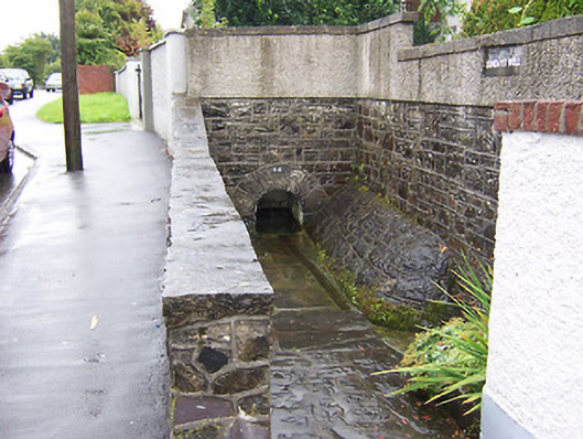 Sunday Wellwell · 3 yd
 IndicatedEcclesiastical enclosure · 140 yd
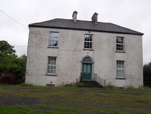 The Rectoryrectory/glebe/vicarage/curate's house · 172 yd
 Petits Castle Mote & Mill (Site of)Castle, unclassified · 246 yd
 Priests WellHoly well · 251 yd
 CastleCastle, unclassified · 315 yd
 Augustinian Monks Memorial StatueMemorial · 350 yd
 The Chimera GalleryGallery · 516 yd
 Famine MemorialMemorial · 551 yd
 Mullingar Cathedral MuseumMuseum · 783 yd
 Saint Brigid's WellSpring · 1.9 mi
 Lady's IslandWood · 2.9 mi