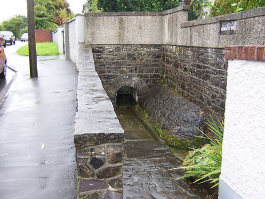
What is recorded here
Freestanding water well, dated 1816, comprising a round-headed arch with roundly dressed voussoirs set into a section of strap-pointed squared rubble limestone wall. Paved gully to the west side. Located to the west end of Sunday’s Well and to the southeast of Mullingar.
A simple but interesting feature of social significance, adding historic interest to the streetscape to the southeast side of Mullingar. Although recently repointed, this modest structure is constructed using good quality local limestone. The name suggests that this may be a holy well and of archaeological significance. However, there is no obvious associated with an early religious site in the area.
This does not grant access. Most recorded buildings are privately owned; view them only from public ground unless the owner allows entry.
Places near here
 IndicatedEcclesiastical enclosure · 143 yd
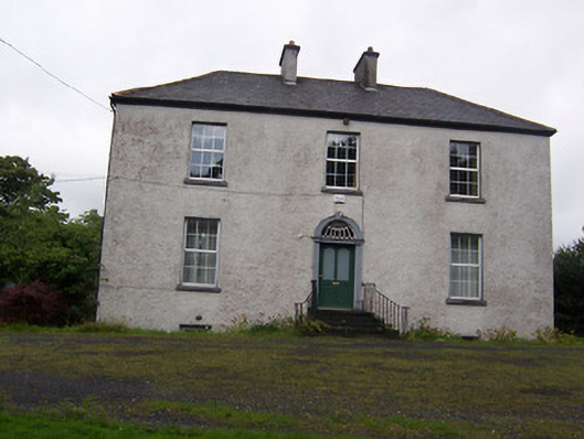 The Rectoryrectory/glebe/vicarage/curate's house · 169 yd
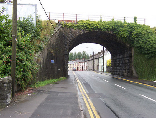 bridgebridge · 182 yd
 Petits Castle Mote & Mill (Site of)Castle, unclassified · 243 yd
 Priests WellHoly well · 250 yd
 CastleCastle, unclassified · 312 yd
 Augustinian Monks Memorial StatueMemorial · 349 yd
 The Chimera GalleryGallery · 513 yd
 Famine MemorialMemorial · 547 yd
 Mullingar Cathedral MuseumMuseum · 780 yd
 Saint Brigid's WellSpring · 1.9 mi
 Lady's IslandWood · 2.9 mi
Other information
Photo: National Inventory of Architectural Heritage · Website use allowed for educational or private purposes with source credit