What is recorded here
A cluster of archaeological deposits which, perhaps, represent a single or multiple structures. It consisted of a cluster of archaeological deposits exposed on the field surface and in the drain face for over 14m from north to south and up to 0.5m below the field surface. While it was not possible to distinguish individual structures within, the cluster was recorded at three individual locations providing an indication of the sort of deposits exposed at the time of the survey. These contained horizontal brushwood and roundwoods up to 0.15m in diameter occurring singly or in groups. Several stakes were also noted on the field surface. A mix of wood species is evident and all deposits are located within raised bog peats. Toolmarks were present on several worked ends throughout the cluster with stone tool marks identified on wood from at least one location. (Bermingham 2014)
The deposits were not re-located during a pre-season field visit in April 2015 (licence: 15E0160). However, an earlier sample was used for dating, and the site was dated cal. 2618-2570 BC, UBA-26637 (Whitaker 2017).
Compiled by: David O’Connor, Edited by: Femke Vleeshouwer, 8th April 2020
Date of upload: 21 November 2014
The monument record does not grant public access. Check the route and ask the landowner before entering private land.
- What survives
- Recorded monument
Places near here
 Kinnegad Bridgebridge · 1541 yd
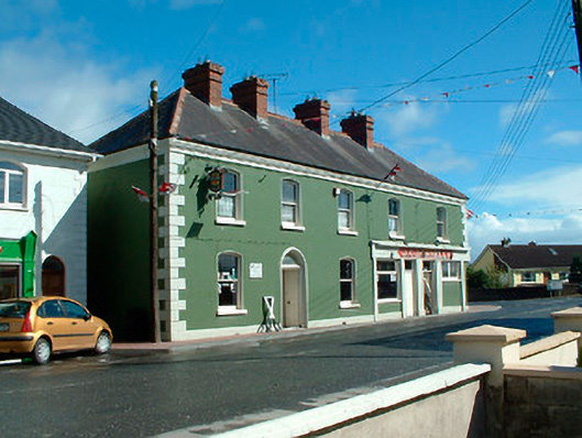 J.C. Donnellyhouse · 1633 yd
 OutlinedFairy fort / earthen ringfort · 1.0 mi
 EnclosureEnclosure, large enclosure · 1.3 mi
 Ardnamullan CastleCastle, tower house · 1.4 mi
 Queen Marys CastleCastle, tower house · 1.9 mi
 Rahin WoodsForest · 3.1 mi
 Roundhill WoodForest · 3.6 mi
 Croppies' GraveMemorial · 3.8 mi
 Moat HillMountain / peak · 5.7 mi
 Sli na Slainte - mapVisitor information · 13 mi
 The Fairy BowerHeritage attraction · 13 mi