What is recorded here
Daingean South Bog held a scattered line of small oak pegs and brushwood, aligned northeast to southwest in wet peat. The wood vanished before the 2014 survey, leaving only a date range of AD 905 to 1149 and the shape of what the bog had swallowed.
This site was located in the industrial peatlands of Daingean South Bog. It was recorded in the 2013 Reassessment Peatland Survey as a disperse arrangement of mainly NE-SW orientated light brushwood elements (Diam. 0.03-0.05m, L max 0.25m), with four pegs found along the E extent. It was laid in moderately humified Sphagnum peat (Whitaker 2014).
The find spot was relocated in 2014 (licence 14E0306) using GPS, but no wood remained in situ (Whitaker 2017).
A fragment of oak was chosen for AMS dating and returned a result of cal. AD 905-1149 (UBA 26596).
Compiled by: Jane Whitaker/Femke Vleeshouwer
Date of upload: 26 February 2020
The monument record does not grant public access. Check the route and ask the landowner before entering private land.
- What survives
- Recorded monument
Places near here
 RoadRoad, class 1 togher · 475 yd
 StructureStructure, peatland · 509 yd
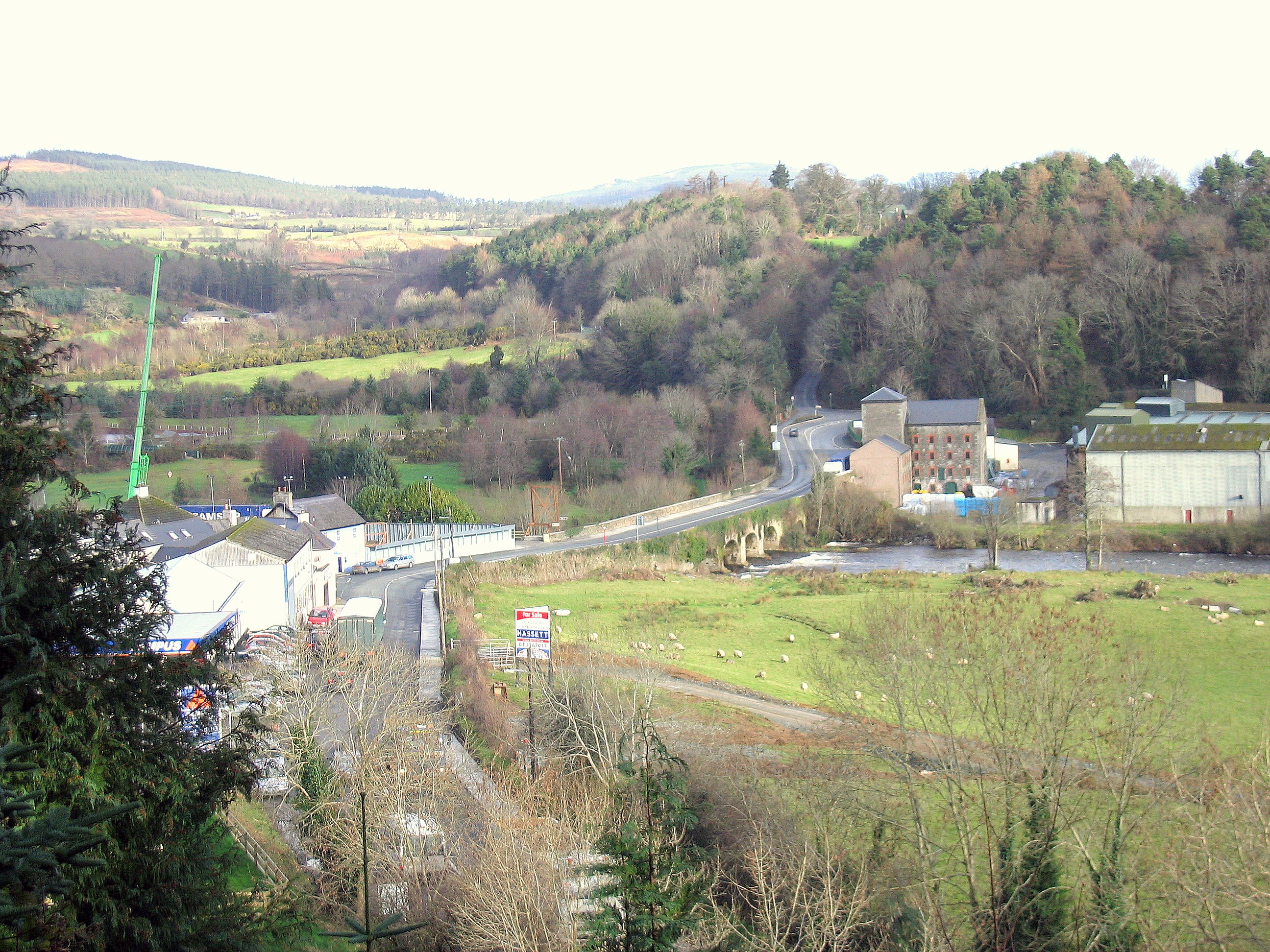 Enclosure in RathdrumEnclosure · 575 yd
 CastleCastle, unclassified · 1647 yd
 Saint Clavin's WellSpring · 1.1 mi
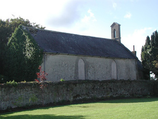 Saint Francis's Church (Ballycommon)church/chapel · 1.3 mi
 Graveyard in BallycommonGraveyard · 1.3 mi
 Kill Castle (ruins)Castle, tower house · 1.3 mi
 Cruil HillMountain / peak · 1.8 mi
 Lackan HillMountain / peak · 1.8 mi
 Children's WellSpring · 2.9 mi
 Bracklin WoodWood · 3.5 mi