What is recorded here
A sparse band (L 2.4m; Wth 2.2m; D 0.46m) of predominantly light brushwood, occasional twigs and two roundwoods (diam. 0.07-0.1m) which are situated at the top of the deposit. Most of the elements are orientated N-S and are 2-3 pieces deep. The site has been disturbed and damaged by machinery and the upper wood is in poor condition, with two chisel points noted. Wood species include hazel, willow, birch and ash. The site sits in poorly humified peat consisting of Sphagnum, Eriophorum and ericaceous remains. This site is adjacent to SMR WM039-180---- to the S and lies 0.18m above SMR WM039-322----.
Date of upload: 21 August 2013
The monument record does not grant public access. Check the route and ask the landowner before entering private land.
- What survives
- Recorded monument
Places near here
 StructureStructure, peatland · 401 yd
 Partially hachuredFairy fort / ringfort · 1320 yd
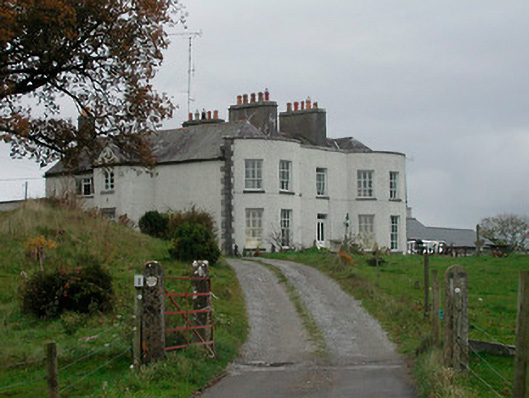 Cornaher Housecountry house · 1.2 mi
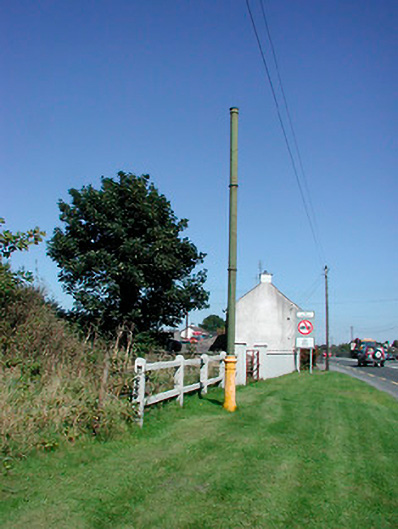 vent pipevent pipe · 1.2 mi
 Tyrrellspass CastleCastle, tower house · 1.4 mi
 Montrath Castle (in ruins)Castle, tower house · 1.4 mi
 Ardan WoodWood · 2.2 mi
 Lackan HillMountain / peak · 2.4 mi
 Bonfire HillMountain / peak · 3.1 mi
 Bracklin WoodWood · 4.1 mi
 Finnrenashark Holy WellSpring · 4.6 mi
 Croghan HillMountain / peak · 4.6 mi