
What is recorded here
A deposit of archaeological wood noted during field survey in 1989 (pers. comm. B. Raftery). The evidence is insufficient to warrant acceptance as the remains of an archaeological monument.
Compiled by: Mary Tunney based on data supplied by the former Irish Archaeological Wetland Unit, University College, Dublin.
Date of upload: 26 August 2011
The monument record does not grant public access. Check the route and ask the landowner before entering private land.
- What survives
- Recorded monument
Places near here
 RoadRoad, class 3 togher · 225 yd
 StructureStructure, peatland · 349 yd
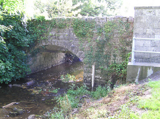 bridgebridge · 1726 yd
 Fulacht fia in Aghareagh (longford By.)Fulacht fia · 1.3 mi
 CastleCastle, tower house · 1.9 mi
 Graveyard in Curry (ardagh By., Coolamber Ed)Graveyard · 1.9 mi
 First World War MemorialMemorial · 2.2 mi
 Bawn in AbbeycartronBawn · 2.3 mi
 Saint Mel's CathedralCathedral · 2.4 mi
 Commons North WalkVisitor information · 6.5 mi
 Wild birdsVisitor information · 6.7 mi
 White Sand WoodWood · 7.0 mi
Other information
Photo: Credit not shown in the picture search · Rights wording not checked; contact us if this picture should be removed