
What is recorded here
On a floodplain. Identified during trial trenching in 2008 as three discrete deposits of burnt material (Hull 2009, 8; 2011, 238-9). Excavation in 2009 revealed that the deposits were part of a fulacht fia composed of spreads of angular, heat-affected stone and charcoal in a matrix of black, silty clay. The N portion of the mound was not excavated as it lay beyond the limits of the excavation (Stephens 2009d; Stephens 2011, 140-141; pers. comm. M. Stephens).
Compiled by: Patrick F. O'Donovan
Date of upload: 17 January 2013
The monument record does not grant public access. Check the route and ask the landowner before entering private land.
- What survives
- Recorded monument
Places near here
 Field boundary in MullaghField boundary · 428 yd
 IndicatedEnclosure · 468 yd
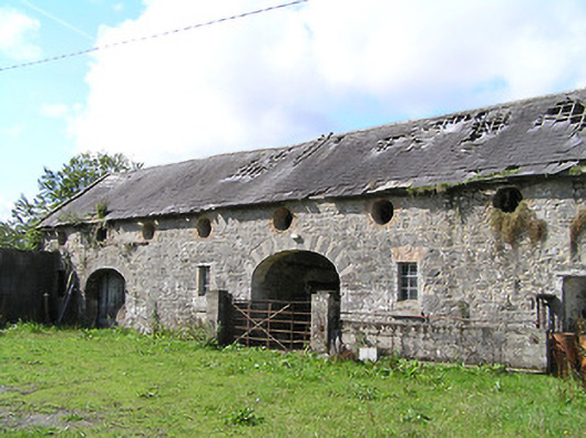 Aghareagh Housefarmyard complex · 592 yd
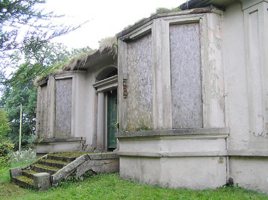 Mullagh Househouse · 742 yd
 Bawn in AbbeycartronBawn · 1.0 mi
 First World War MemorialMemorial · 1.1 mi
 Saint Mel's CathedralCathedral · 1.2 mi
 Graveyard in Curry (ardagh By., Coolamber Ed)Graveyard · 2.5 mi
 CastleCastle, Anglo-Norman masonry castle · 4.5 mi
 Commons North WalkVisitor information · 7.7 mi
 Wild birdsVisitor information · 7.9 mi
 White Sand WoodWood · 8.3 mi
Other information
Photo: Credit not shown in the picture search · Rights wording not checked; contact us if this picture should be removed