What is recorded here
A large plank (L 1.38m, Wth 0.29m, T 0.12m) standing upright in drain. Probably displaced from oak plank togher (LF022-064015-) located a short distance to the SSE. No other associated wood in the vicinity. (Dunne 1999, 32, 99DBSE0017A). The evidence is not sufficient to warrant accepting it as the remains of an archaeological monument in its own right.
Compiled by: Mary Tunney based on data supplied by Jane Whitaker, Archaeological Development Services.
Date of upload: 26 August 2011
The monument record does not grant public access. Check the route and ask the landowner before entering private land.
- What survives
- Recorded monument
Places near here
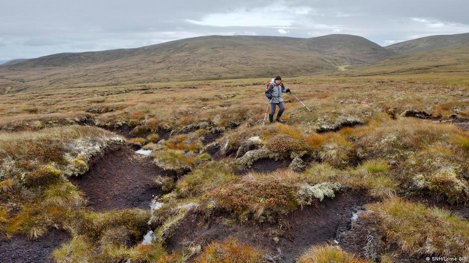 PlatformPlatform, peatland · 102 yd
 RoadRoad, class 2 togher · 221 yd
 StructureStructure, peatland · 257 yd
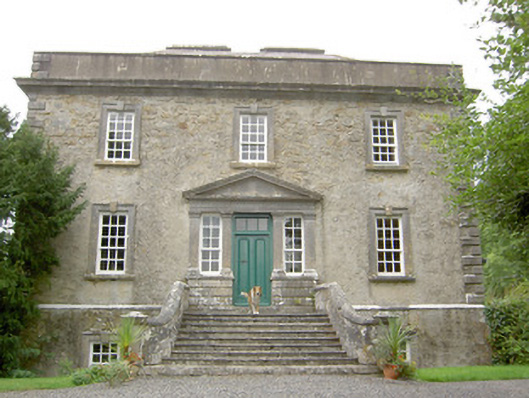 Ledwithstown Househouse · 1.6 mi
 Corlea Trackway Interpretative CentreHeritage attraction · 1.9 mi
 Corlea Bog Walk Blue LoopWalking route · 1.9 mi
 Corlea Bog Walk Canal BranchWalking route · 2.0 mi
 Caltragh CastleCastle, unclassified · 2.9 mi
 CastleBawn · 3.5 mi
 Leveret IslandIslet · 3.5 mi
 Culnagore WoodForest · 3.7 mi
 Bush IslandIslet · 3.8 mi