What is recorded here
Mairi Tunney recorded isolated hazel and birch roundwoods in County Longford, some marked by tools or burning, but the peatland vanished before the survey finished. They may have been wooden structures, temporary shelters or discarded fragments of ordinary life. The land itself erased the answer, leaving only the shape of what was lost and the danger of calling that shape a fact.
A number of isolated hazel and birch roundwoods many of which had toolmarks and traces of possible burning. This site was destroyed before the survey could be completed, thus it is not plotted. The evidence is insufficient to warrant acceptance as the remains of an archaeological monument.
Compiled by: Mary Tunney based on data supplied by the former Irish Archaeological Wetland Unit, University College, Dublin.
Date of upload: 26 August 2011
This remains an important historical record, but the official description says the monument is no longer visible or has been destroyed. The monument record does not grant public access. Check the route and ask the landowner before entering private land.
- What survives
- No visible remains or recorded as destroyed
Places near here
 StructureStructure, peatland · 461 yd
 RoadRoad, class 3 togher · 682 yd
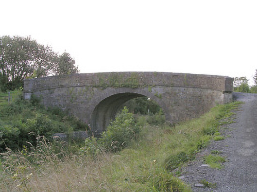 Knockanboy Bridgebridge · 1345 yd
 Enclosure in SharvogeEnclosure · 1.3 mi
 Graveyard in Curry (ardagh By., Coolamber Ed)Graveyard · 1.4 mi
 CastleCastle, tower house · 1.6 mi
 First World War MemorialMemorial · 2.3 mi
 Bawn in AbbeycartronBawn · 2.4 mi
 Saint Mel's CathedralCathedral · 2.4 mi
 Commons North WalkVisitor information · 6.6 mi
 Wild birdsVisitor information · 6.7 mi
 White Sand WoodWood · 7.0 mi