What is recorded here
Further small excavations and Geophysical survey (E2964) during 2007 at the Viking enclosure (WA009-019----) identified a structure of two phases that is probably associated with metal-working, and clarified the E perimeter of the monument (Russell 2010).
Russell, I. (2010) Woodstown 6. Early Viking industrial, testing. in I. Bennett (Ed.) Excavations 2007: summary accounts of excavations in Ireland, 524-6, No. 1861. Wordwell. Dublin.
Compiled by: Michael Moore
Date of upload: 08 December 2010
The monument record does not grant public access. Check the route and ask the landowner before entering private land.
- What survives
- Recorded monument
Places near here
 Viking settlement siteArchaeological place · 52 yd
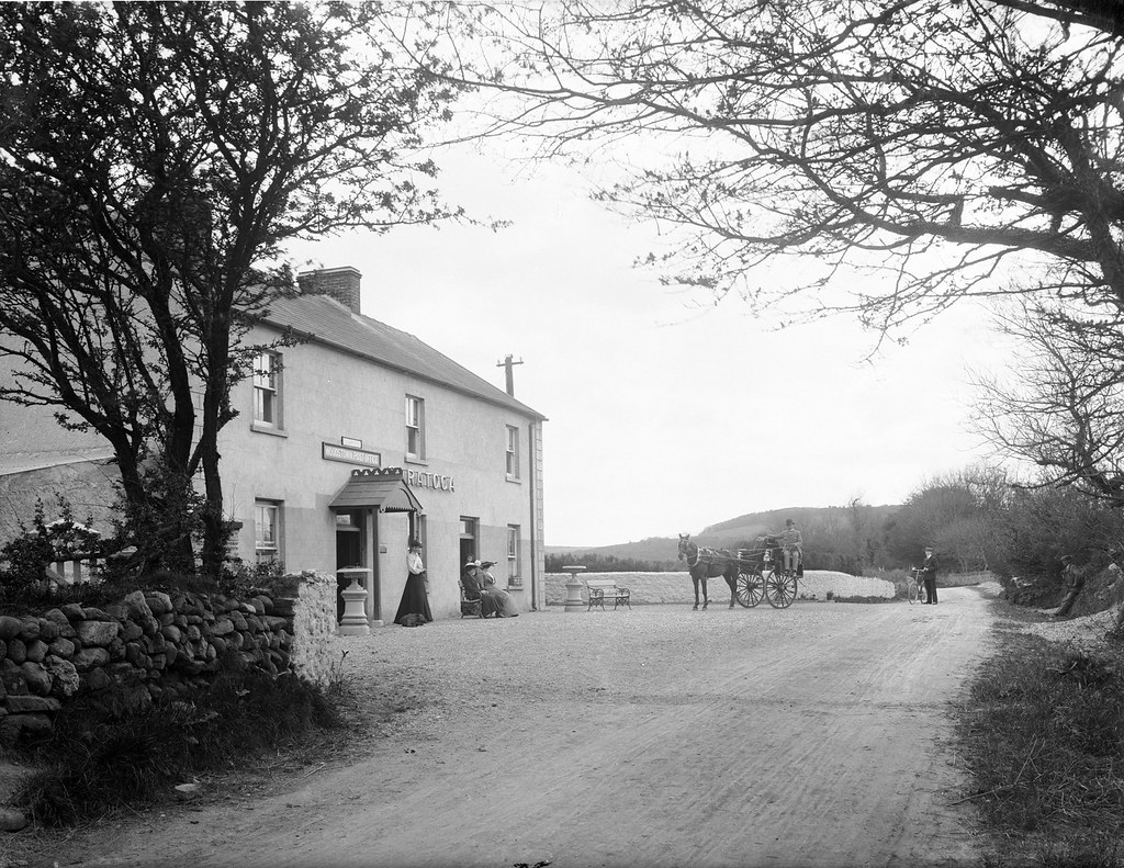 Kiln in Woodstown (middlethird By., Killoteran Par.)Kiln · 112 yd
 Enclosure in Woodstown (middlethird By., Killoteran Par.)Enclosure · 333 yd
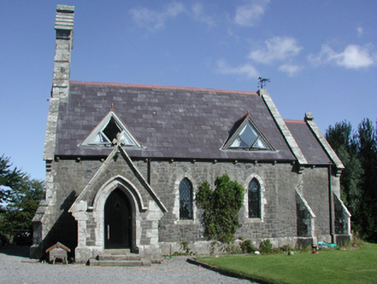 Killoteran Churchchurch/chapel · 551 yd
 Native Irish Tree TrailWood · 1316 yd
 Mount Congreve GardensHeritage attraction · 1623 yd
 Monterey CypressMonterey Cypress · 1.2 mi
 Corluddy Castle (in Ruins)Castle, tower house · 1.2 mi
 CastleCastle, unclassified · 1.5 mi
 Waterford & Suir Valley RailwayHeritage attraction · 2.2 mi
 Sugar Loaf RockMountain / peak · 2.8 mi
 St. Martin's WellSpring · 7.2 mi