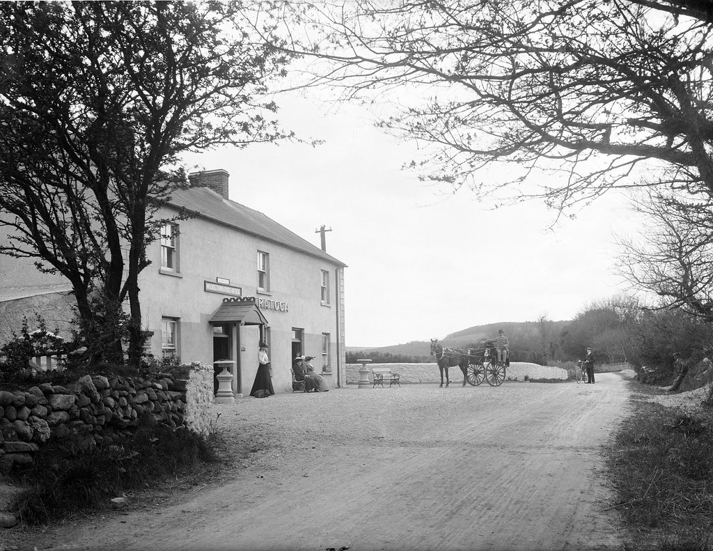
What is recorded here
Two kilns of probable Viking age were recorded in the excavations outside the N defences of the enclosure (WA009-019----). One is a sub-rectangular depression (dims 1.04m x 0.98m; D 0.3m) filled with charcoal-flecked clay and surrounded by oxidised clays. The perimeter is surrounded by three post-holes. The other is a sub-rectangular depression (dims 1.9m x 1.6m; D 0.3m) filled with three layers containing charcoal lumps and lenses of baked clay. Four post-holes and 17 stake-holes are associated with it. (O'Brien at al. 2005, 37, 41)
O'Brien, R., Quinney, P. and Russell, I. (2005) 'Preliminary Report on the Archaeological Excavation and Finds Retrieval Strategy of the Hiberno-Scandinavian Site of Woodstown 6, County Waterford'. Decies No. 61, 13-122.
Compiled by: Michael Moore
Date of upload: 10 November 2010
The monument record does not grant public access. Check the route and ask the landowner before entering private land.
- What survives
- Recorded monument
Places near here
 Viking settlement siteArchaeological place · 61 yd
 Enclosure in Woodstown (middlethird By., Killoteran Par.)Enclosure · 431 yd
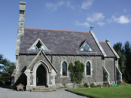 Killoteran Churchchurch/chapel · 632 yd
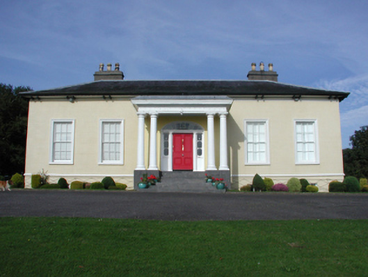 Killoteran Househouse · 760 yd
 Native Irish Tree TrailWood · 1221 yd
 Mount Congreve GardensHeritage attraction · 1728 yd
 Corluddy Castle (in Ruins)Castle, tower house · 1.2 mi
 Monterey CypressMonterey Cypress · 1.2 mi
 CastleCastle, unclassified · 1.5 mi
 Waterford & Suir Valley RailwayHeritage attraction · 2.2 mi
 Sugar Loaf RockMountain / peak · 2.9 mi
 St. Martin's WellSpring · 7.3 mi
Other information
Photo: Credit not shown in the picture search · Rights wording not checked; contact us if this picture should be removed