What is recorded here
At the highest point of the motte (CV011-013002-), at ESE, there are foundations of a small, subcircular, mortared stone structure (int. dims. 2.05m x 2.9m). Davies (1947, 81) interpreted this as the remains of a tower and speculated that it may be 16th-century in date.
The above description is derived from the published 'Archaeological Inventory of County Cavan' (Dublin: Stationery Office, 1995). In certain instances the entries have been revised and updated in the light of recent research.
Date of upload: 22 January 2015
The monument record does not grant public access. Check the route and ask the landowner before entering private land.
- What survives
- Recorded monument
Places near here
 Turbet Island Castle Motte and BaileyArchaeological place · 8 yd
 Sit of CastleCastle, motte and bailey · 9 yd
 Turbet IslandWood · 31 yd
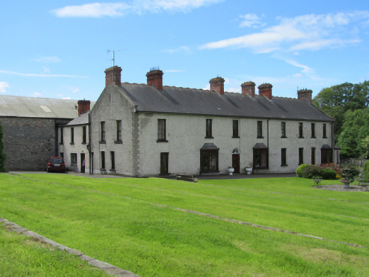 Erne Valedistillery · 137 yd
 Mill WalkVisitor information · 225 yd
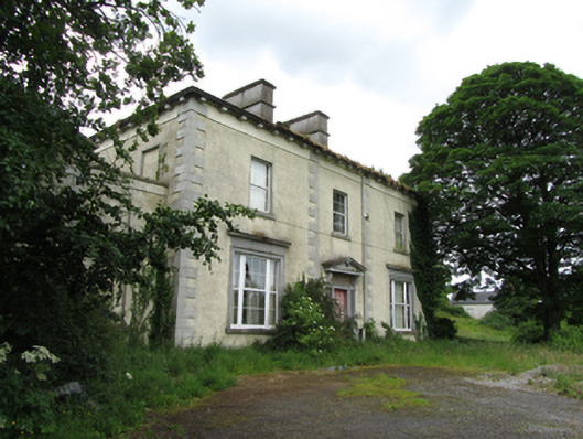 The Rectoryrectory/glebe/vicarage/curate's house · 245 yd
 Bastioned fort in Corporation LandsBastioned fort · 333 yd
 Bomb Victims MemorialMemorial · 446 yd
 Belturbet Railway Station Visitor CentreHeritage attraction · 626 yd
 Welcome to Belturbet StationVisitor information · 638 yd
 Belturbet Heritage Railway Station MuseumMuseum · 648 yd
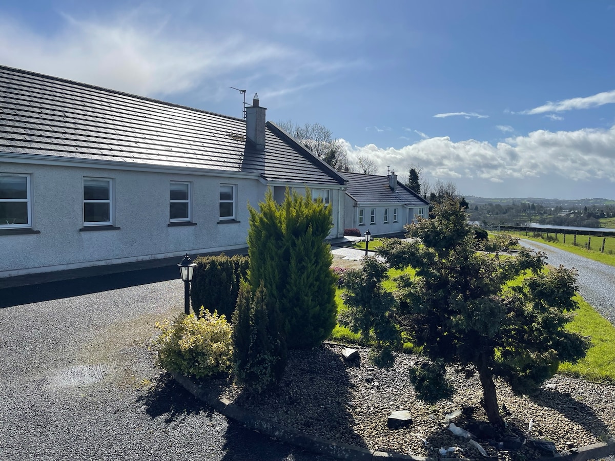 Cornadarragh ForestForest · 1452 yd