What is recorded here
In pasture, located on the top of a narrow NWW−SSE by a high ridge, with steeply sloping sides. There are excellent views: to W over a broad valley of boggy ground; to N−NE over gently undulating hilly terrain.
This structure/possible enclosure is not shown on any edition of the OS 6-inch maps. It is evident as a D-shaped raised area (18m NE-SW; 10-11m NW−SE) defined on the NW curving side by a low stone and earth bank, and bordered on the straight side at SE by a NE−SW field ditch and field fence. The remains appear to represents the NW half of an originally circular enclosure/structure.
The bank (Wth c. 4m; int. H 0.5m; ext. H 0.8m) is best preserved at SW−W, lower and somewhat degraded at N. It retains a low internal lip, and has a broadly slumped slope on its external face. Remnants of drystone facing protrude in parts from the top and external slope. The low inner face of the bank slumps seamlessly into a shallow concave interior.
The straight side at SE is created by a field ditch (Wth c. 0.8m), which cuts through the enclosure. The field ditch is bordered on its SE side by a field bank (Wth 1-1.2m; H c. 1m), which serves as the townland boundary. The portion of the enclosure which lies to SE of the field bank appears to have been levelled, but it is difficult to be certain that no remains exist here because this area is engulfed in a dense thicket of blackthorn and brambles.
This appears to have been a relatively small, circular enclosure or structure with a stone-faced perimeter bank and a concave interior, and no evidence of an external fosse. Its exact function/nature is uncertain. It might be some form of barrow, however, the stone facing of the bank is unusual. It must pre-date the construction of the current field bank/townland boundary. It is possible that it is of the early modern era: According to local information, in the past structures/reservoirs were built on these ridge tops to hold water.
Compiled by: Jane O’Shaughnessy
Date of upload: 11 November 2020
The monument record does not grant public access. Check the route and ask the landowner before entering private land.
- What survives
- Recorded monument
Places near here
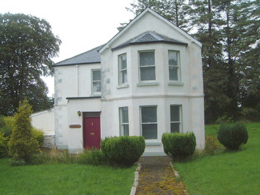 The Old Rectorypresbytery/parochial/curate's house · 535 yd
 Geevagh Prisoners 1908 MemorialMemorial · 552 yd
 Granny's Wellwater pump · 556 yd
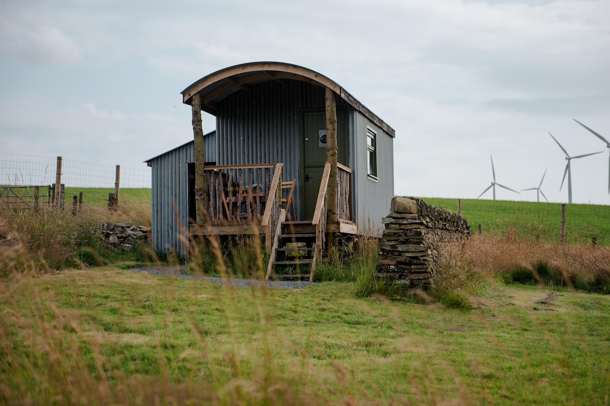 Hut site in Cabragh (leyny By.)Hut site · 1372 yd
 LisheenFairy fort / earthen ringfort · 1467 yd
 Giants GraveArchaeological place · 2.1 mi
 Barroe NorthMountain / peak · 2.1 mi
 CastleCastle, motte and bailey · 2.2 mi
 Carrane HillCliff · 2.3 mi
 Ballindoon Castle (in Ruins)Castle, unclassified · 3.1 mi
 Green IslandIslet · 3.5 mi
 Loughbrick BayBay · 3.5 mi