What is recorded here
Within the S half of a possible cashel (GA122-146001-). A stone-built rectangular structure (c. 8m WNW-ESE; c. 5m NE-SW) is visible on Google Earth aerial imagery dating from March 2015. Identified and reported by Jean-Charles Caillère.
The following image has been uploaded: GA108-246002-_01.jpg Google Earth image (April 2021)
Compiled by: Olive Alcock
Date of upload: 21 July 2022
The monument record does not grant public access. Check the route and ask the landowner before entering private land.
- What survives
- Recorded monument
Places near here
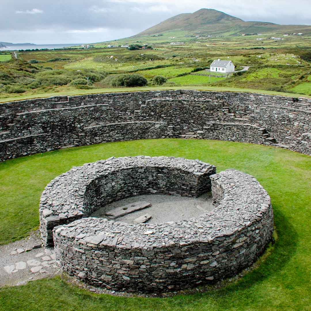 Fairy fort / stone ringfort in Roo (kiltartan By.)Fairy fort / stone ringfort · 1262 yd
 EnclosureEnclosure, large enclosure · 1508 yd
 Tulla Parkfarm house · 1.2 mi
 Castle (in ruins)Bawn · 1.4 mi
 ToheracollureRuins · 1.5 mi
 Castle in ruinsCastle, unclassified · 1.6 mi
 Kilmacduagh Monastic SiteVisitor information · 2.3 mi
 Kilmacduagh MonasteryHeritage attraction · 2.4 mi
 Coole-Garryland Nature ReserveNature reserve · 2.8 mi
 Grave of Saint Mac Duagh's ServantArchaeological place · 3.1 mi
 Coole ParkWood · 3.5 mi
 Kilnaloone GraveyardArchaeological place · 4.1 mi