What is recorded here
No, that is a new exact event and must be removed.
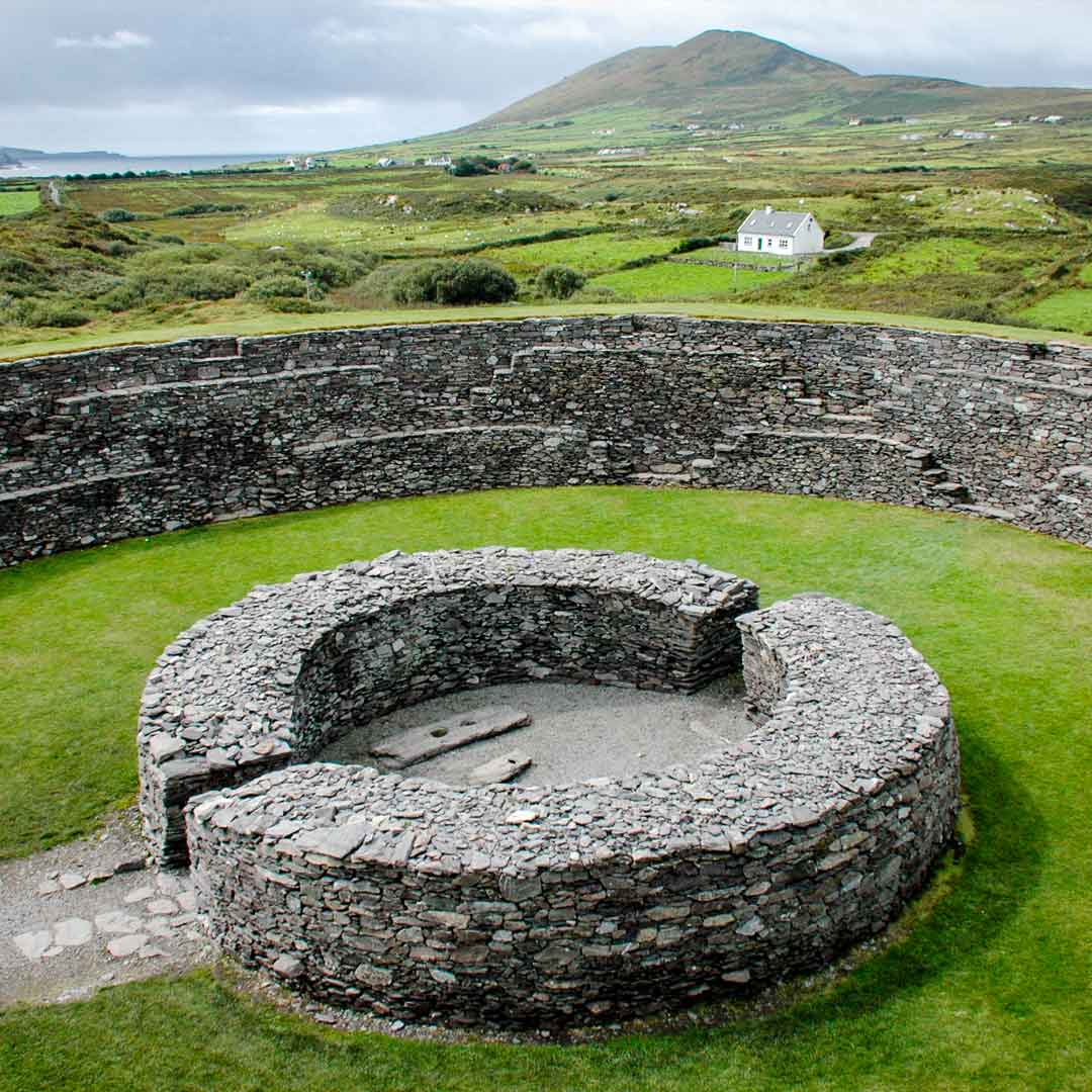
On the crest of a rise in pastureland. Circular cashel (diam. 30m), in fair condition, defined by a collapsed drystone wall (base Wth 4m; int. H 0.4m; ext. H 0.85m). A field wall cuts across the monument at WSW and SSE. Two hollows in the interior appear to be the result of quarrying.
Compiled by: Galway Archaeological Survey, UCG
Date of upload: 10 April 2018
The monument record does not grant public access. Check the route and ask the landowner before entering private land.
- What survives
- Recorded monument
Places near here
 EnclosureEnclosure, large enclosure · 249 yd
 Castle (in ruins)Bawn · 1468 yd
 IndicatedBridge · 1.0 mi
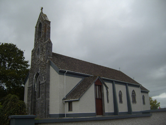 Saint Colman's Catholic Churchchurch/chapel · 1.1 mi
 Castle in ruinsCastle, unclassified · 1.6 mi
 Kilmacduagh Monastic SiteVisitor information · 1.9 mi
 Site of Macduaghs ChapelChapel · 1.9 mi
 Kilmacduagh MonasteryHeritage attraction · 1.9 mi
 Coole-Garryland Nature ReserveNature reserve · 2.2 mi
 Coole ParkWood · 2.9 mi
 Grave of Saint Mac Duagh's ServantArchaeological place · 3.9 mi
 Kilnaloone GraveyardArchaeological place · 4.7 mi
Other information
Photo: Credit not shown in the picture search · Rights wording not checked; contact us if this picture should be removed