What is recorded here
In level farmland. This subcircular enclosure (c. 74m E-W; c. 70m N-Sm), in fair condition, is defined by a bank of earth and stone from S through W to NE; elsewhere a scarp forms the enclosing element. A gap at S may be original. Hawthorn bushes are growing on the outer slopes of the bank and along the scarp.
Compiled by: Galway Archaeological Survey, UCG
Date of upload: 18 June 2019
The monument record does not grant public access. Check the route and ask the landowner before entering private land.
- What survives
- Recorded monument
Places near here
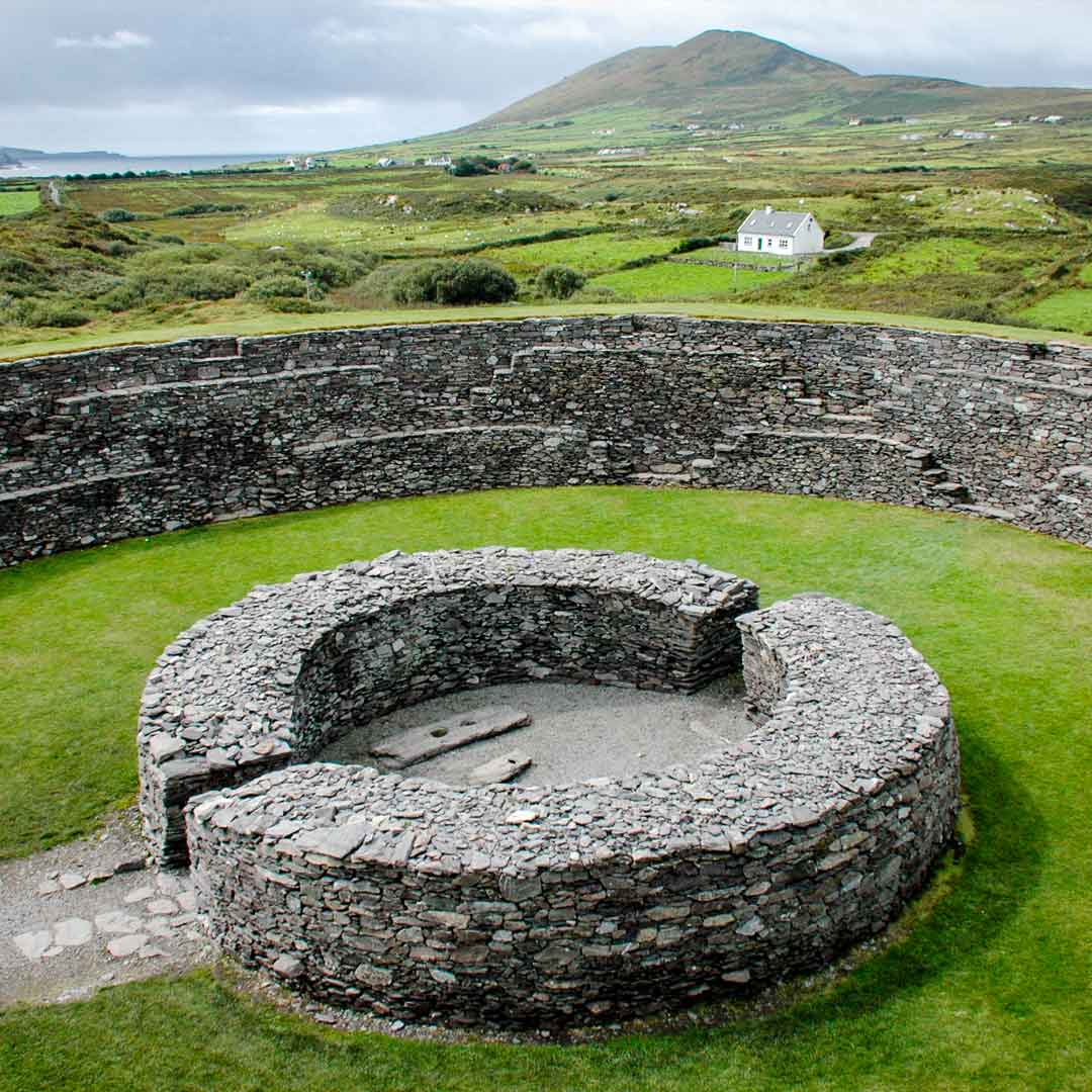 Fairy fort / stone ringfort in Roo (kiltartan By.)Fairy fort / stone ringfort · 249 yd
 Castle (in ruins)Bawn · 1269 yd
 IndicatedBridge · 1634 yd
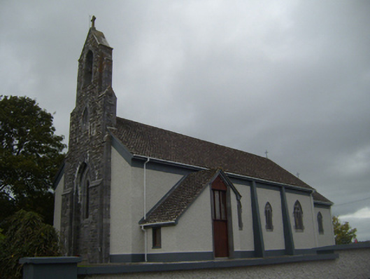 Saint Colman's Catholic Churchchurch/chapel · 1657 yd
 Cloonselherny Castle (in ruins)Castle, tower house · 1.7 mi
 Kilmacduagh Monastic SiteVisitor information · 1.8 mi
 Ecclesiastical enclosure in Newtown (glynn)Ecclesiastical enclosure · 1.8 mi
 Kilmacduagh MonasteryHeritage attraction · 1.8 mi
 Coole-Garryland Nature ReserveNature reserve · 2.1 mi
 Coole ParkWood · 2.8 mi
 Grave of Saint Mac Duagh's ServantArchaeological place · 4.0 mi
 Kilnaloone GraveyardArchaeological place · 4.8 mi
Other information
Photo: Credit not shown in the picture search · Rights wording not checked; contact us if this picture should be removed