
What is recorded here
On a gentle SE-facing slope overlooking lower marshy land and a small stream to the E. This fairly well-preserved subcircular enclosure (68m N-S; 62m E-W) is defined by a substantial grassed-over stony bank and a wide deep external fosse. The bank is visible all round but is denuded at NE and overgrown with thorn trees and briars at E; it is best preserved at NW (Wth 2m; int. H 1.9m; ext. H 3m). The fosse (Wth 4m; D 1.8m) is also best preserved at NW, elsewhere field-clearance rubble and felled trees have been dumped in it and it is almost totally infilled in the S sector as a result. A trackway cuts across both enclosing elements at NNE. The interior is divided along a natural scarp line by a stony bank (Wth 1.2m; H 0.75m) running from NW to SE. There is a church (GA122-120002-) in the NNW sector and a small burial ground (GA122-120003-) in the SE sector. A holy well (GA122-121----) lies c. 90m to the ESE.
Compiled by: Olive Alcock
Date of upload: 30 March 2020
The monument record does not grant public access. Check the route and ask the landowner before entering private land.
- What survives
- Recorded monument
Places near here
 TobercronanHoly well · 137 yd
 Bawn in Castlequarter (kiltartan By.)Bawn · 1166 yd
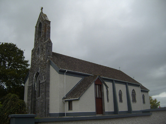 Saint Colman's Catholic Churchchurch/chapel · 1493 yd
 Calluragh Chapel (in ruins)Church · 1548 yd
 Kilmacduagh Monastic SiteVisitor information · 1658 yd
 Shanclogh Glebe House (in ruins)Castle, hall-house · 1688 yd
 Macduaghs TreeRitual site, holy tree/bush · 1720 yd
 Kilmacduagh MonasteryHeritage attraction · 1740 yd
 Coole-Garryland Nature ReserveNature reserve · 2.2 mi
 Coole ParkWood · 2.7 mi
 Swan IslandIsland · 3.6 mi
 Castle IslandIsland · 3.7 mi
Other information
Photo: Credit not shown in the picture search · Rights wording not checked; contact us if this picture should be removed